Mangatarata Suburbs & Region, Mangatarata Map & Postcodes in Mangatarata, Hauraki, Waikato
Mangatarata Postcodes, Mangatarata ZipCodes, Mangatarata , Mangatarata Waikato, Mangatarata Suburbs, Mangatarata Region, Mangatarata Map, Mangatarata Area
Mangatarata Region
Mangatarata Suburbs
Mangatarata is a suburb place type in Hauraki, Waikato, NZ. It contains 0 suburbs or localities.Mangatarata district
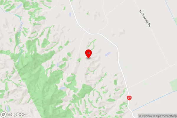
HaurakiMangatarata Region Map

Mangatarata Introduction
Mangatarata is a small rural community in the Waikato region of New Zealand, located about 30 kilometers south of Hamilton. It is known for its beautiful natural surroundings, including the Mangatarata Forest, which is a popular hiking and mountain biking destination. The community has a population of around 100 people and is surrounded by farmland and rolling hills. There are no shops or services in Mangatarata, but there are a few houses and a small community hall. The area is popular with tourists and outdoor enthusiasts, who come to enjoy the natural beauty and peaceful atmosphere.Mangatarata Region
Mangatarata City
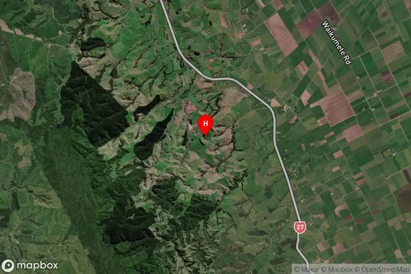
Mangatarata Satellite Map

Full Address
Mangatarata, Hauraki, WaikatoMangatarata Coordinates
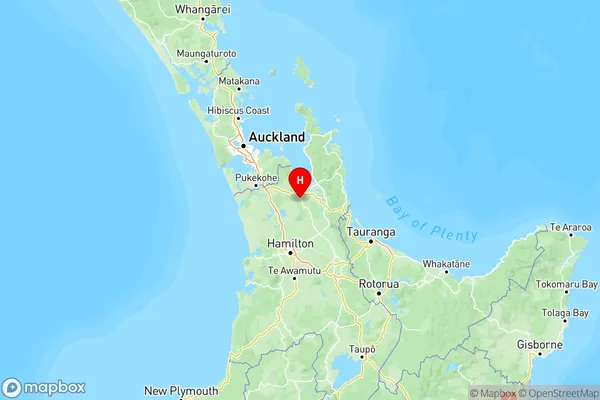
-37.325599,175.386979 (Latitude / Longitude)Mangatarata Map in NZ

NZ Island
North IslandCountry
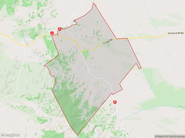
Mangatarata Area Map (Polygon)

Name
MangatarataAdditional Name
Local Authority
Hauraki District
Mangatarata Suburbs (Sort by Population)
Mangatarata suburb has around
67.8 square
kilometers.There are more than 238 people (estimated)
live in Mangatarata, Waitakaruru, Waikato, New Zealand.