Temple View Suburbs & Region, Temple View Map & Postcodes in Temple View, Hamilton City, Waikato
Temple View Postcodes, Temple View ZipCodes, Temple View , Temple View Waikato, Temple View Suburbs, Temple View Region, Temple View Map, Temple View Area
Temple View Region (Koromatua Region)
Temple View Suburbs
Temple View is a suburb place type in Hamilton City, Waikato, NZ. It contains 0 suburbs or localities.Temple View Region Map
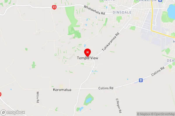
Temple View Introduction
Temple View is a small town in Waikato, New Zealand, located on State Highway 1. It is situated between Hamilton and Cambridge and is known for its rural setting and picturesque views. The town has a population of around 1,000 people and is home to a variety of businesses and services, including a supermarket, a pharmacy, a hotel, and a golf course. Temple View is also home to a number of historic buildings, including the Temple View Hotel and the Temple View School. The town is surrounded by beautiful countryside and is popular with outdoor enthusiasts, who enjoy hiking, cycling, and fishing in the nearby rivers and lakes.Temple View Region
Temple View City
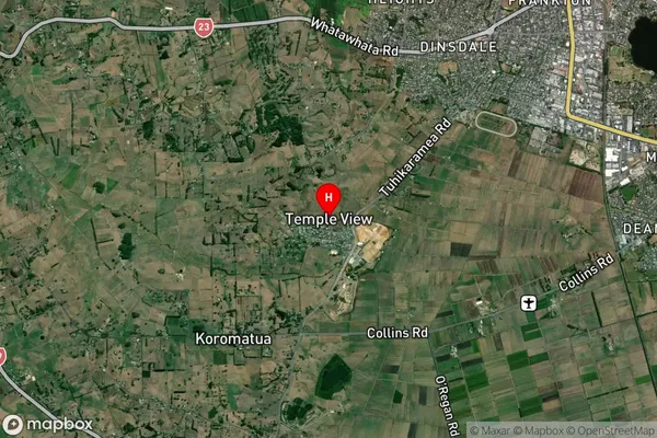
Temple View Satellite Map
Full Address
Temple View, Hamilton City, WaikatoTemple View Coordinates
-37.818022,175.22245 (Latitude / Longitude)Temple View Map in NZ
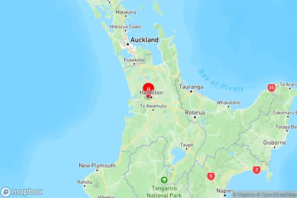
NZ Island
North IslandCountry
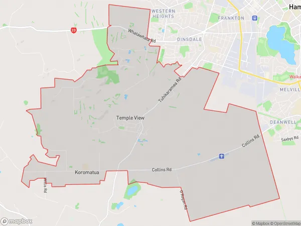
Temple View Area Map (Polygon)
Name
Temple ViewAdditional Name
KoromatuaLocal Authority
Hamilton City, Waikato District, Waipa District
Temple View Suburbs (Sort by Population)
Temple View also known as Koromatua. Temple View suburb has around
31.3 square
kilometers.There are more than 2011 people (estimated)
live in Temple View, Hamilton, Waikato, New Zealand.