Te Rapa Park Suburbs & Region, Te Rapa Park Map & Postcodes in Te Rapa Park, Hamilton City, Waikato
Te Rapa Park Postcodes, Te Rapa Park ZipCodes, Te Rapa Park , Te Rapa Park Waikato, Te Rapa Park Suburbs, Te Rapa Park Region, Te Rapa Park Map, Te Rapa Park Area
Te Rapa Park Region (Northgate Industrial, Pukete Industrial Region)
Te Rapa Park Suburbs
Te Rapa Park is a suburb place type in Hamilton City, Waikato, NZ. It contains 0 suburbs or localities.Te Rapa Park Postcodes
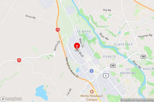
Te Rapa Park Region Map

Te Rapa Park Introduction
Te Rapa Park is a 128-hectare park located in Hamilton, Waikato, New Zealand. It is a popular destination for outdoor activities such as walking, cycling, and picnicking. The park has a rich history, with evidence of early Māori settlement dating back to the 13th century. The park features a variety of plant and animal species, including native birds, reptiles, and mammals. The park also has several historic buildings, including a former homestead and a church. Te Rapa Park is a popular spot for weddings and events, and it is also home to the Te Rapa Racecourse, which hosts regular horse racing events.Te Rapa Park Region
Te Rapa Park City
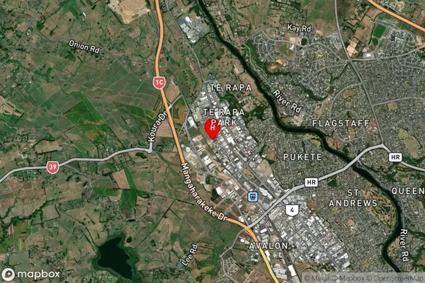
Te Rapa Park Satellite Map

Full Address
Te Rapa Park, Hamilton City, WaikatoTe Rapa Park Coordinates
-37.738728,175.220754 (Latitude / Longitude)Te Rapa Park Map in NZ

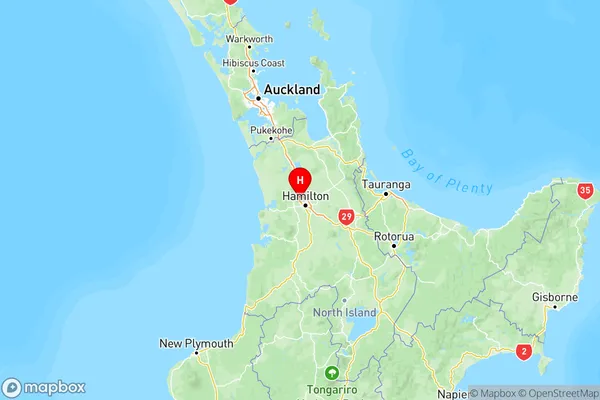
NZ Island
North IslandCountry
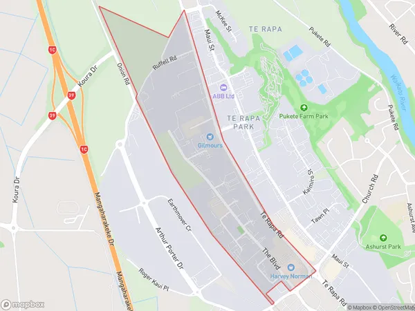
Te Rapa Park Area Map (Polygon)

Name
Te Rapa ParkAdditional Name
Northgate Industrial, Pukete IndustrialLocal Authority
Hamilton City
Te Rapa Park Suburbs (Sort by Population)
Te Rapa Park also known as Northgate Industrial, Pukete Industrial. Te Rapa Park suburb has around
1.1 square
kilometers.There are more than 37 people (estimated)
live in Te Rapa Park, Hamilton, Waikato, New Zealand.