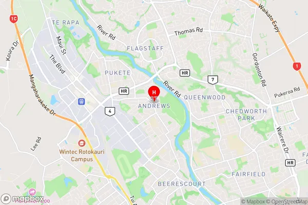
Saint Andrews Suburbs & Region, Saint Andrews Map & Postcodes in Saint Andrews, Hamilton City, Waikato
Saint Andrews Postcodes, Saint Andrews ZipCodes, Saint Andrews , Saint Andrews Waikato, Saint Andrews Suburbs, Saint Andrews Region, Saint Andrews Map, Saint Andrews Area
Saint Andrews Region (Kingsdown, Lyalldale, Springbrook, St Andrew, St Andrews Region)
Saint Andrews Suburbs
Saint Andrews is a suburb place type in Hamilton City, Waikato, NZ. It contains 0 suburbs or localities.Saint Andrews Region Map
Saint Andrews Introduction
Saint Andrews is a small town in the Waikato region of New Zealand. It is located on State Highway 1, approximately 30 kilometers south of Hamilton. The town has a population of around 2,000 people and is known for its historic church, beautiful gardens, and tranquil atmosphere. The Saint Andrews Golf Club is a popular destination for golfers, and the town also hosts a variety of events throughout the year, including the Saint Andrews Festival of Arts and Culture.Saint Andrews Region
Saint Andrews City
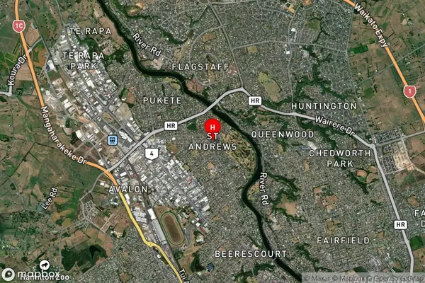
Saint Andrews Satellite Map
Full Address
Saint Andrews, Hamilton City, WaikatoSaint Andrews Coordinates
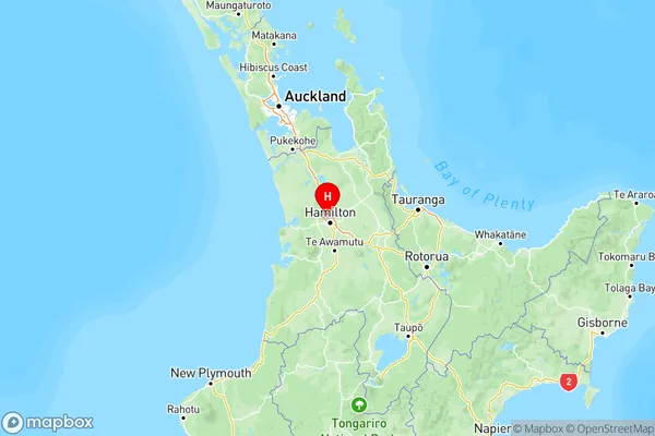
-37.749572,175.254777 (Latitude / Longitude)Saint Andrews Map in NZ
NZ Island
North IslandCountry
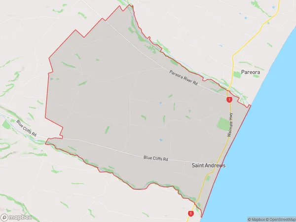
Saint Andrews Area Map (Polygon)
Name
Saint AndrewsAdditional Name
Kingsdown, Lyalldale, Springbrook, St Andrew, St AndrewsLocal Authority
Waimate District
Saint Andrews Suburbs (Sort by Population)
Saint Andrews also known as Kingsdown, Lyalldale, Springbrook, St Andrew, St Andrews. Saint Andrews suburb has around
74.4 square
kilometers.There are more than 542 people (estimated)
live in Saint Andrews, Hamilton, Canterbury, New Zealand.