Peacocke Suburbs & Region, Peacocke Map & Postcodes in Peacocke, Hamilton City, Waikato
Peacocke Postcodes, Peacocke ZipCodes, Peacocke , Peacocke Waikato, Peacocke Suburbs, Peacocke Region, Peacocke Map, Peacocke Area
Peacocke Region
Peacocke Suburbs
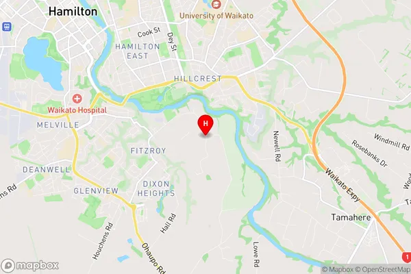
Peacocke is a suburb place type in Hamilton City, Waikato, NZ. It contains 0 suburbs or localities.Peacocke Region Map
Peacocke Introduction
Peacocke is a small town in the Waikato region of New Zealand. It is located on State Highway 1, approximately 30 kilometers south of Hamilton. The town has a population of around 500 people and is known for its historic buildings, including the Peacocke Hotel, which was built in 1878. The town also has a golf course and a sports field, and is surrounded by farmland and picturesque countryside. Peacocke is a popular stopover for travelers heading south to the Bay of Islands or North Island.Peacocke Region
Peacocke City
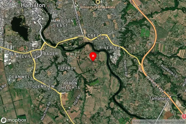
Peacocke Satellite Map
Full Address
Peacocke, Hamilton City, WaikatoPeacocke Coordinates
-37.8127512,175.3150355 (Latitude / Longitude)Peacocke Map in NZ
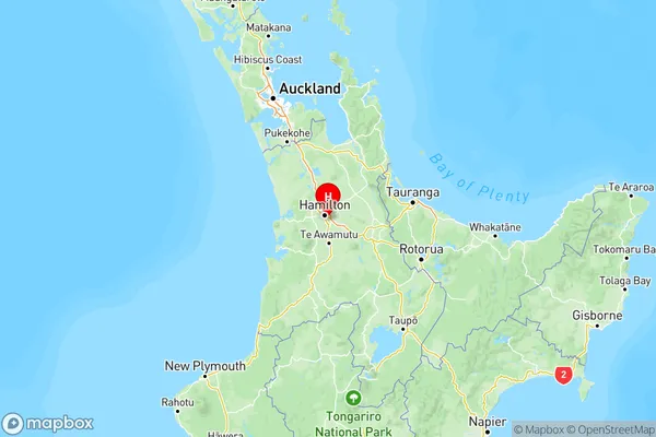
NZ Island
North IslandCountry
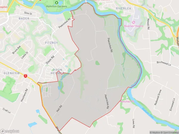
Peacocke Area Map (Polygon)
Name
PeacockeAdditional Name
Local Authority
Hamilton City
Peacocke Suburbs (Sort by Population)
Peacocke suburb has around
7.1 square
kilometers.There are more than 318 people (estimated)
live in Peacocke, Hamilton, Waikato, New Zealand.