Hillcrest Suburbs & Region, Hillcrest Map & Postcodes in Hillcrest, Hamilton City, Waikato
Hillcrest Postcodes, Hillcrest ZipCodes, Hillcrest , Hillcrest Waikato, Hillcrest Suburbs, Hillcrest Region, Hillcrest Map, Hillcrest Area
Hillcrest Region
Hillcrest Suburbs
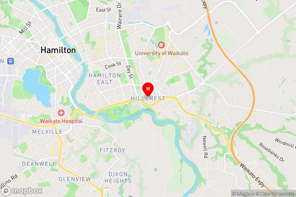
Hillcrest is a suburb place type in Hamilton City, Waikato, NZ. It contains 0 suburbs or localities.Hillcrest Region Map
Hillcrest Introduction
Hillcrest is a suburb of Hamilton, New Zealand, located in the Hillcrest Ward of the Waikato District. It is situated on the southern side of the Waikato River, approximately 10 km south of Hamilton City Centre. Hillcrest has a population of around 10,000 people and is known for its historic homes, leafy streets, and vibrant community. The suburb has a number of parks and recreational facilities, including Hillcrest Park, which features a children's playground, a cricket pitch, and a basketball court. Hillcrest also has a popular shopping district, with a variety of stores and restaurants. The suburb is well-connected to Hamilton via public transport, with regular bus services and a train station located within walking distance.Hillcrest Region
Hillcrest City
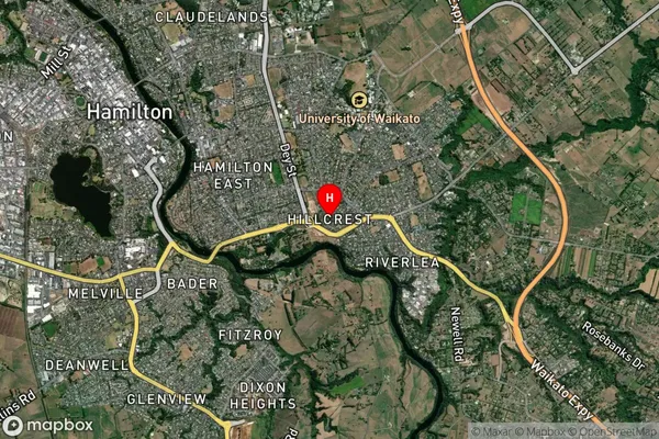
Hillcrest Satellite Map
Full Address
Hillcrest, Hamilton City, WaikatoHillcrest Coordinates
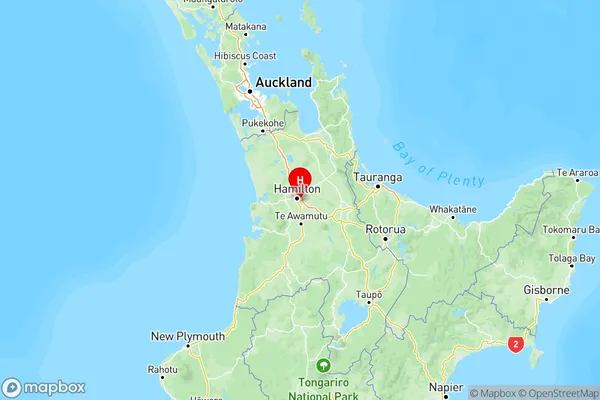
-37.801208,175.31307 (Latitude / Longitude)Hillcrest Map in NZ
NZ Island
North IslandCountry
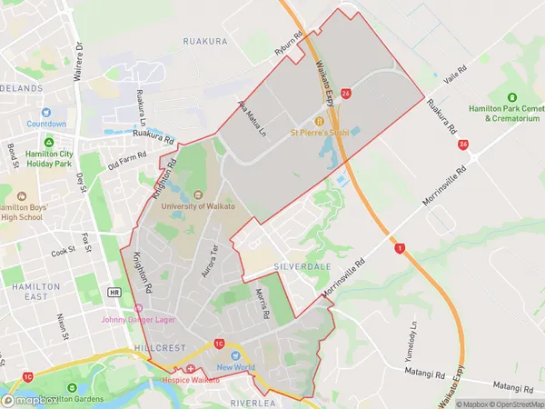
Hillcrest Area Map (Polygon)
Name
HillcrestAdditional Name
Local Authority
Hamilton City, Waikato District
Hillcrest Suburbs (Sort by Population)
Hillcrest suburb has around
7.3 square
kilometers.There are more than 9280 people (estimated)
live in Hillcrest, Hamilton, Waikato, New Zealand.