Deanwell Suburbs & Region, Deanwell Map & Postcodes in Deanwell, Hamilton City, Waikato
Deanwell Postcodes, Deanwell ZipCodes, Deanwell , Deanwell Waikato, Deanwell Suburbs, Deanwell Region, Deanwell Map, Deanwell Area
Deanwell Region
Deanwell Suburbs
Deanwell is a suburb place type in Hamilton City, Waikato, NZ. It contains 0 suburbs or localities.Deanwell Postcodes
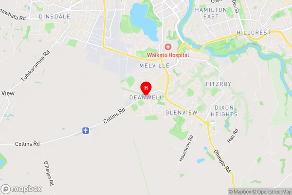
Deanwell Region Map
Deanwell Introduction
Deanwell is a small town in Waikato, New Zealand. It is located on State Highway 1, approximately 30 kilometers south of Hamilton. The town has a population of around 300 people and is known for its historic railway station and nearby Deanwell Forest Park. The area was originally settled by Māori tribes, and the name "Deanwell" is derived from a Māori word meaning "good valley." The town has a primary school, a convenience store, and a community hall. Deanwell is also home to a number of historic buildings, including the Deanwell Hotel and the Old Church Hall. The town is surrounded by farmland and scenic countryside, and is a popular destination for outdoor activities such as hiking, cycling, and fishing.Deanwell Region
Deanwell City
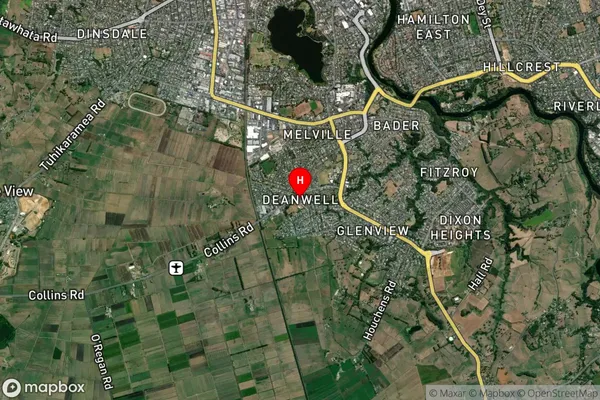
Deanwell Satellite Map
Full Address
Deanwell, Hamilton City, WaikatoDeanwell Coordinates
-37.819227,175.27509 (Latitude / Longitude)Deanwell Map in NZ
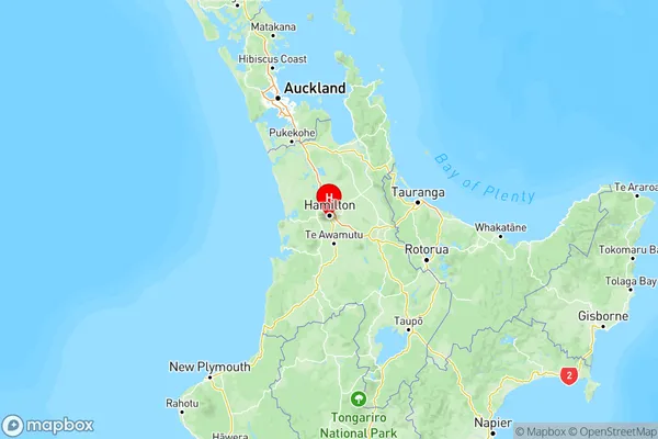
NZ Island
North IslandCountry
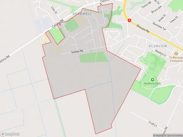
Deanwell Area Map (Polygon)
Name
DeanwellAdditional Name
Local Authority
Hamilton City, Waipa District
Deanwell Suburbs (Sort by Population)
Deanwell suburb has around
1.7 square
kilometers.There are more than 1404 people (estimated)
live in Deanwell, Hamilton, Waikato, New Zealand.