Te Teko Suburbs & Region, Te Teko Map & Postcodes in Te Teko, Whakatane, Bay of Plenty
Te Teko Postcodes, Te Teko ZipCodes, Te Teko , Te Teko Bay of Plenty, Te Teko Suburbs, Te Teko Region, Te Teko Map, Te Teko Area
Te Teko Region
Te Teko Suburbs
Te Teko is a suburb place type in Whakatane, Bay of Plenty, NZ. It contains 0 suburbs or localities.Te Teko Postcodes
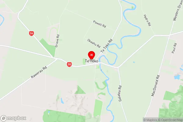
Te Teko Region Map
Te Teko Introduction
Te Teko is a small town in the Bay of Plenty region of New Zealand. It is situated on the shores of Lake Rotorua and is known for its hot springs and Maori cultural heritage. The town has a population of around 500 people and is a popular tourist destination. Visitors can enjoy soaking in the hot springs, exploring the nearby forests, or visiting the Te Teko Gorge, a short walk from the town center. The town also has a museum and a cultural center that showcases the local Maori culture and history.Te Teko Region
Te Teko City
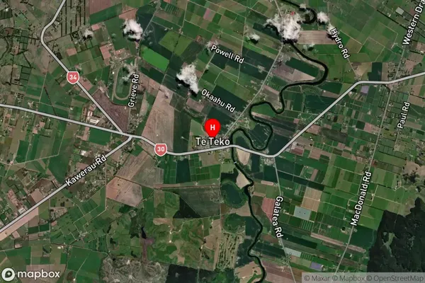
Te Teko Satellite Map
Full Address
Te Teko, Whakatane, Bay of PlentyTe Teko Coordinates
-38.03488,176.794156 (Latitude / Longitude)Te Teko Map in NZ
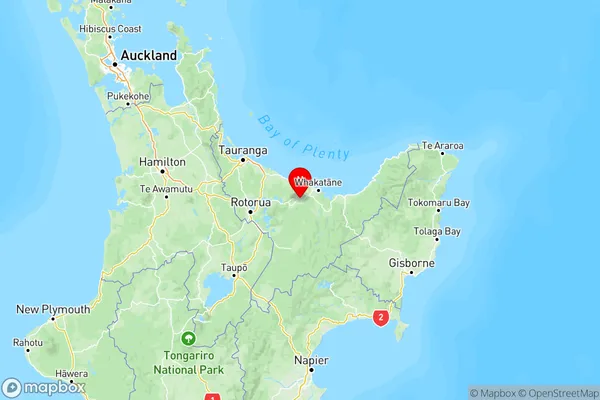
NZ Island
North IslandCountry
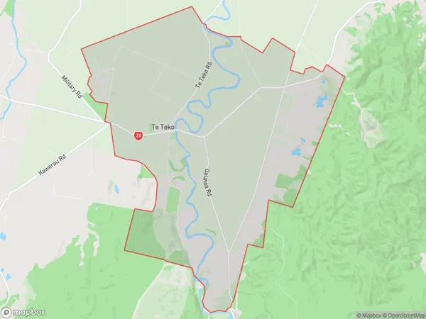
Te Teko Area Map (Polygon)
Name
Te TekoAdditional Name
Local Authority
Whakatane District
Te Teko Suburbs (Sort by Population)
Te Teko suburb has around
52.9 square
kilometers.There are more than 1798 people (estimated)
live in Te Teko, Whakatane, Bay of Plenty, New Zealand.