Ruatoki Suburbs & Region, Ruatoki Map & Postcodes in Ruatoki, Whakatane, Bay of Plenty
Ruatoki Postcodes, Ruatoki ZipCodes, Ruatoki , Ruatoki Bay of Plenty, Ruatoki Suburbs, Ruatoki Region, Ruatoki Map, Ruatoki Area
Ruatoki Region (Opouriao, Ruatoki North, Waikirikiri Region)
Ruatoki Suburbs
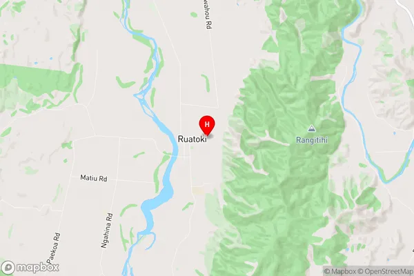
Ruatoki is a suburb place type in Whakatane, Bay of Plenty, NZ. It contains 0 suburbs or localities.Ruatoki Region Map
Ruatoki Introduction
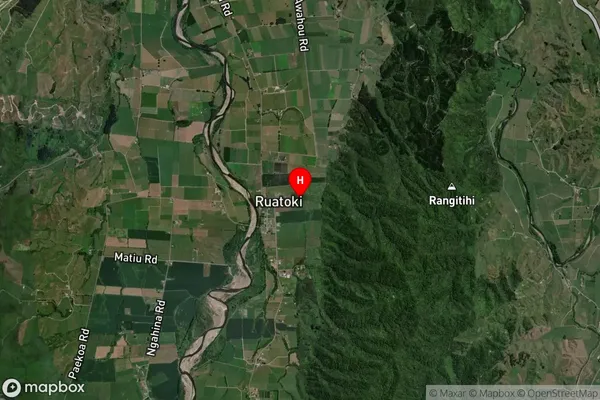
Ruatoki is a small town in the Bay of Plenty region of New Zealand. It is situated on the banks of the Ruatoki River and is known for its stunning natural beauty, including waterfalls, forests, and rivers. The town has a population of around 1,000 people and is a popular destination for outdoor enthusiasts, with many hiking and cycling trails nearby. Ruatoki also has a historic church and a community hall, and is home to a variety of shops and cafes. The town is surrounded by farmland and is located about 20 minutes' drive from Tauranga City.Ruatoki Region
Ruatoki City
Ruatoki Satellite Map
Full Address
Ruatoki, Whakatane, Bay of PlentyRuatoki Coordinates
-38.137405,177.010367 (Latitude / Longitude)Ruatoki Map in NZ
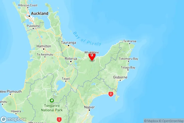
NZ Island
North IslandCountry
Ruatoki Area Map (Polygon)
Not available for nowName
RuatokiAdditional Name
Opouriao, Ruatoki North, WaikirikiriLocal Authority
Whakatane District
Ruatoki Suburbs (Sort by Population)
Ruatoki also known as Opouriao, Ruatoki North, Waikirikiri. Ruatoki suburb has around
-1.2 square
kilometers.There are more than 695 people (estimated)
live in Ruatoki, Whakatane, Bay of Plenty, New Zealand.