Nukuhou Suburbs & Region, Nukuhou Map & Postcodes in Nukuhou, Whakatane, Bay of Plenty
Nukuhou Postcodes, Nukuhou ZipCodes, Nukuhou , Nukuhou Bay of Plenty, Nukuhou Suburbs, Nukuhou Region, Nukuhou Map, Nukuhou Area
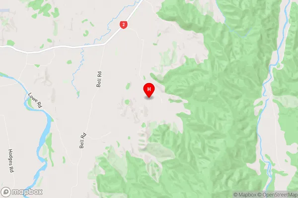
Nukuhou Region (Kererutahi, Matahapa, Nukuhou North, Tanatana, Waingarara, Waiou Region)
Nukuhou Suburbs
Nukuhou is a suburb place type in Whakatane, Bay of Plenty, NZ. It contains 2 suburbs or localities.Nukuhou Postcodes
Nukuhou Region Map
Nukuhou Introduction
Nukuhou is a small rural community in the Bay of Plenty, New Zealand. It is located on the eastern coast of the North Island, about 30 kilometers southeast of Tauranga. The community is known for its beautiful beaches, lush green surroundings, and friendly locals. Nukuhou has a population of around 500 people and is surrounded by farmland and native bush. The area is popular with tourists and outdoor enthusiasts, who enjoy activities such as hiking, fishing, and kayaking. The community also has a small school, a post office, and a convenience store.Nukuhou Region
Nukuhou City
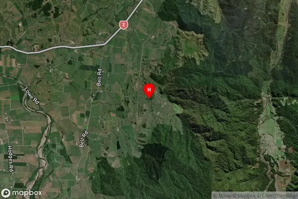
Nukuhou Satellite Map
Full Address
Nukuhou, Whakatane, Bay of PlentyNukuhou Coordinates
-38.148185,177.135626 (Latitude / Longitude)Nukuhou Map in NZ
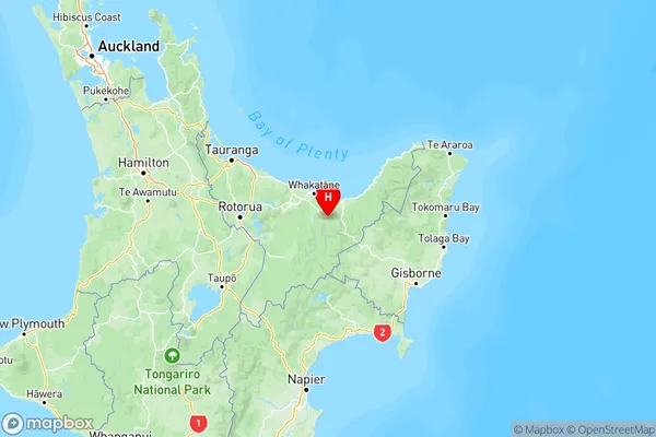
NZ Island
North IslandCountry
Nukuhou Area Map (Polygon)

Name
NukuhouAdditional Name
Kererutahi, Matahapa, Nukuhou North, Tanatana, Waingarara, WaiouLocal Authority
Whakatane District