Matahi Suburbs & Region, Matahi Map & Postcodes in Matahi, Whakatane, Bay of Plenty
Matahi Postcodes, Matahi ZipCodes, Matahi , Matahi Bay of Plenty, Matahi Suburbs, Matahi Region, Matahi Map, Matahi Area
Matahi Region (Tahora Region)
Matahi Suburbs
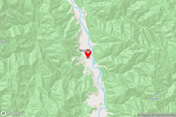
Matahi is a suburb place type in Whakatane, Bay of Plenty, NZ. It contains 0 suburbs or localities.Matahi Region Map
Matahi Introduction
Matahi, Bay of Plenty, New Zealand, is a small rural town located on the eastern coast of the North Island. It is known for its stunning natural beauty, including picturesque beaches, lush forests, and a rugged mountain range. The town has a population of around 1,000 people and is a popular destination for tourists and outdoor enthusiasts. Matahi is also home to a number of historic buildings, including a former church and a museum. The town is surrounded by farmland and is known for its fresh produce, including tomatoes, citrus fruits, and kiwifruit.Matahi Region
Matahi City
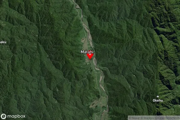
Matahi Satellite Map
Full Address
Matahi, Whakatane, Bay of PlentyMatahi Coordinates
-38.257566,177.1113454 (Latitude / Longitude)Matahi Map in NZ
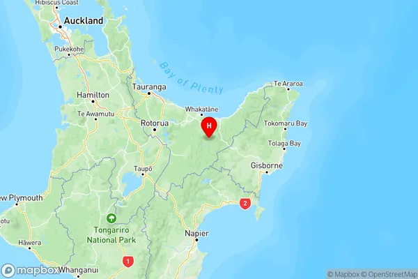
NZ Island
North IslandCountry
Matahi Area Map (Polygon)
Not available for nowName
MatahiAdditional Name
TahoraLocal Authority
Whakatane District
Matahi Suburbs (Sort by Population)
Matahi also known as Tahora. Matahi suburb has around
-1.2 square
kilometers.There are more than 82 people (estimated)
live in Matahi, Whakatane, Bay of Plenty, New Zealand.