Matakana Island Suburbs & Region, Matakana Island Map & Postcodes in Matakana Island, Western Bay Of Plenty, Bay of Plenty
Matakana Island Postcodes, Matakana Island ZipCodes, Matakana Island , Matakana Island Bay of Plenty, Matakana Island Suburbs, Matakana Island Region, Matakana Island Map, Matakana Island Area
Matakana Island Region
Matakana Island Suburbs
Matakana Island is a suburb place type in Western Bay Of Plenty, Bay of Plenty, NZ. It contains 0 suburbs or localities.Matakana Island district
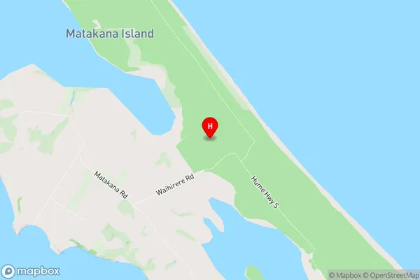
Western Bay Of PlentyMatakana Island Region Map
Matakana Island Introduction
Matakana Island is a picturesque coastal village located in the Bay of Plenty, New Zealand. It is known for its stunning beaches, lush green forests, and vibrant art scene. The island is home to a variety of wildlife, including dolphins, whales, and sea birds. Visitors can explore the island by walking, cycling, or taking a boat tour. There are also several restaurants and cafes to enjoy, as well as a farmers' market where you can buy fresh produce and handmade goods. Matakana Island is a popular destination for day trips and weekend getaways and is a must-visit for anyone who loves the outdoors and natural beauty.Matakana Island Region
Matakana Island City
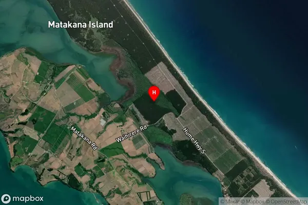
Matakana Island Satellite Map
Full Address
Matakana Island, Western Bay Of Plenty, Bay of PlentyMatakana Island Coordinates
-37.582696,176.08174 (Latitude / Longitude)Matakana Island Map in NZ
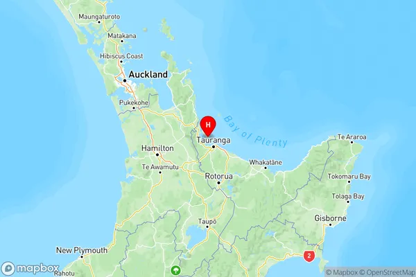
NZ Island
North IslandCountry