Kaimai Suburbs & Region, Kaimai Map & Postcodes in Kaimai, Western Bay Of Plenty, Bay of Plenty
Kaimai Postcodes, Kaimai ZipCodes, Kaimai , Kaimai Bay of Plenty, Kaimai Suburbs, Kaimai Region, Kaimai Map, Kaimai Area
Kaimai Region
Kaimai Suburbs
Kaimai is a suburb place type in Western Bay Of Plenty, Bay of Plenty, NZ. It contains 0 suburbs or localities.Kaimai district
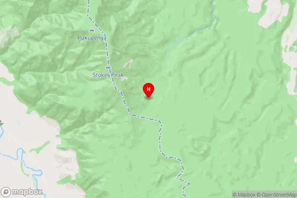
Western Bay Of PlentyKaimai Region Map

Kaimai Introduction
Kaimai is a small rural community in the Bay of Plenty region of New Zealand. It is situated on the banks of the Kaimai River, about 45 minutes' drive from Tauranga. The area is known for its stunning natural scenery, including mountains, forests, and waterfalls. Kaimai is a popular destination for outdoor activities such as hiking, mountain biking, and fishing. The community has a small population of around 200 people, and there are several historic buildings and landmarks in the area, including the Kaimai Cheese Factory and the Kaimai Post Office.Kaimai Region
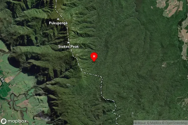
Kaimai Satellite Map

Full Address
Kaimai, Western Bay Of Plenty, Bay of PlentyKaimai Coordinates
-37.6950724,175.8858837 (Latitude / Longitude)Kaimai Map in NZ

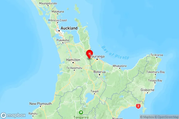
NZ Island
North IslandCountry