Okere Falls Suburbs & Region, Okere Falls Map & Postcodes in Okere Falls, Rotorua, Bay of Plenty
Okere Falls Postcodes, Okere Falls ZipCodes, Okere Falls , Okere Falls Bay of Plenty, Okere Falls Suburbs, Okere Falls Region, Okere Falls Map, Okere Falls Area
Okere Falls Region (Otaramarae, Rotoiti, Tokerau, Whangamarino Region)
Okere Falls Suburbs
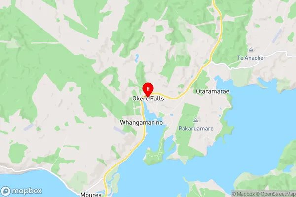
Okere Falls is a suburb place type in Rotorua, Bay of Plenty, NZ. It contains 0 suburbs or localities.Okere Falls Region Map
Okere Falls Introduction
Okere Falls is a waterfall in the Bay of Plenty region of New Zealand. It is located on the Okere River, a tributary of the Tauranga Harbour, and is one of the most popular tourist attractions in the region. The waterfall has a height of 100 meters and is surrounded by lush rainforests. Visitors can walk to the base of the falls or take a boat cruise to get a closer look. The area also has a variety of other activities, such as hiking, mountain biking, and fishing.Okere Falls Region
Okere Falls City
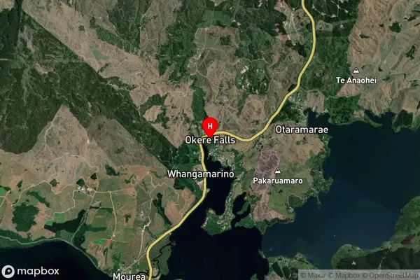
Okere Falls Satellite Map
Full Address
Okere Falls, Rotorua, Bay of PlentyOkere Falls Coordinates
-38.017778,176.346008 (Latitude / Longitude)Okere Falls Map in NZ
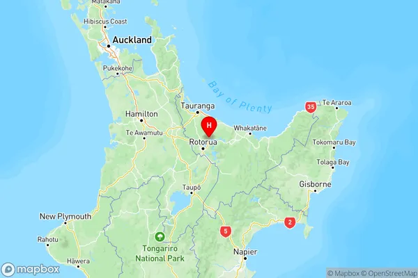
NZ Island
North IslandCountry
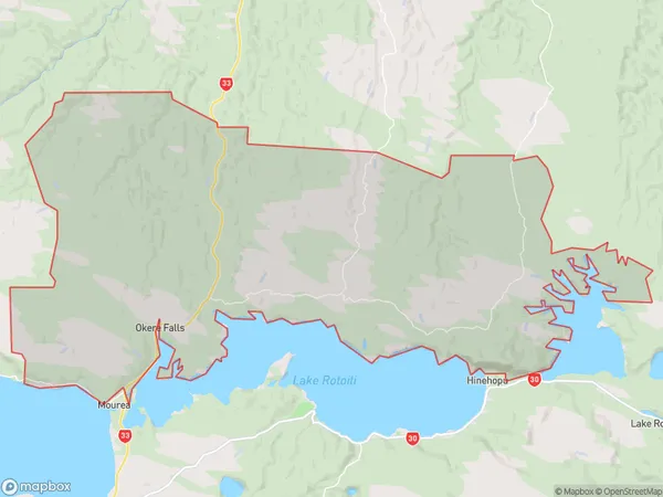
Okere Falls Area Map (Polygon)
Name
Okere FallsAdditional Name
Otaramarae, Rotoiti, Tokerau, WhangamarinoLocal Authority
Rotorua District
Okere Falls Suburbs (Sort by Population)
Okere Falls also known as Otaramarae, Rotoiti, Tokerau, Whangamarino. Okere Falls suburb has around
209.3 square
kilometers.There are more than 742 people (estimated)
live in Okere Falls, Rotorua, Bay of Plenty, New Zealand.