Ohinemutu Suburbs & Region, Ohinemutu Map & Postcodes in Ohinemutu, Rotorua, Bay of Plenty
Ohinemutu Postcodes, Ohinemutu ZipCodes, Ohinemutu , Ohinemutu Bay of Plenty, Ohinemutu Suburbs, Ohinemutu Region, Ohinemutu Map, Ohinemutu Area
Ohinemutu Region
Ohinemutu Suburbs
Ohinemutu is a suburb place type in Rotorua, Bay of Plenty, NZ. It contains 0 suburbs or localities.Ohinemutu Postcodes
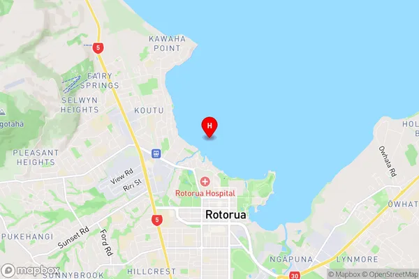
Ohinemutu Region Map
Ohinemutu Introduction
Ohinemutu is a volcanic cone located in the Bay of Plenty, New Zealand. It is the most active volcano in New Zealand and one of the most active in the world. The cone rises to a height of 2,766 feet and is about 1.5 miles wide at the base. Ohinemutu was formed by three volcanic eruptions over the past 200,000 years. The first eruption occurred about 200,000 years ago, and the most recent eruption was in 1945. The cone is a popular tourist destination and is known for its stunning views and rich cultural heritage.Ohinemutu Region
Ohinemutu City
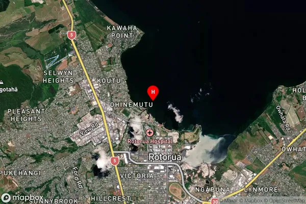
Ohinemutu Satellite Map
Full Address
Ohinemutu, Rotorua, Bay of PlentyOhinemutu Coordinates
-38.123609,176.248977 (Latitude / Longitude)Ohinemutu Map in NZ
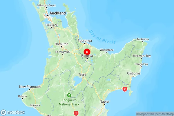
NZ Island
North IslandCountry
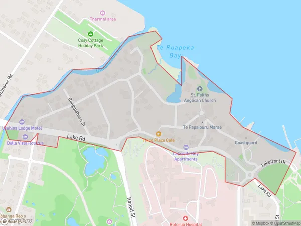
Ohinemutu Area Map (Polygon)
Name
OhinemutuAdditional Name
Local Authority
Rotorua District
Ohinemutu Suburbs (Sort by Population)
Ohinemutu suburb has around
0.3 square
kilometers.There are more than 369 people (estimated)
live in Ohinemutu, Rotorua, Bay of Plenty, New Zealand.