Matawaia Suburbs & Region, Matawaia Map & Postcodes in Matawaia, Far North, Northland

Matawaia Postcodes, Matawaia ZipCodes, Matawaia , Matawaia Northland, Matawaia Suburbs, Matawaia Region, Matawaia Map, Matawaia Area

Matawaia Region

  • Matawaia Suburbs

    Matawaia is a suburb place type in Far North, Northland, NZ. It contains 0 suburbs or localities.
  • Matawaia district

    Far North
  • Matawaia Region Map

    Matawaia, Northland Region Map
  • Matawaia Introduction

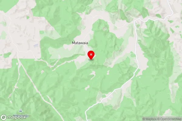
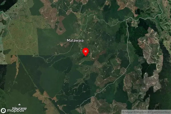
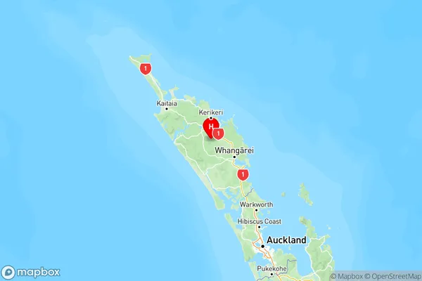
    Matawaia is a small rural community in Northland, New Zealand. It is located on the banks of the Matawaia River, about 10 kilometers south of Whangarei. The community has a population of around 100 people and is known for its scenic surroundings and traditional Maori culture. The area has a rich history, with evidence of early Maori settlement dating back to the 13th century. The village is also home to a historic church, a school, and a small supermarket. Matawaia is a popular destination for tourists who enjoy hiking, fishing, and exploring the local wildlife. The community is also home to a number of artists and craftspeople who work in a variety of mediums, including wood carving, weaving, and pottery.
  • Matawaia Region

  • Matawaia City

  • Matawaia Satellite Map

    Matawaia, Northland Satellite Map
  • Full Address

    Matawaia, Far North, Northland
  • Matawaia Coordinates

    -35.515974,173.954626 (Latitude / Longitude)
  • Matawaia Map in NZ

    Matawaia, Northland Region Map
  • NZ Island

    North Island
  • Matawaia Area Map (Polygon)

    Matawaia, Northland Polygon Area Map
  • Name

    Matawaia
  • Additional Name

  • Local Authority

    Far North District

Matawaia Suburbs (Sort by Population)

Matawaia suburb has around 68.6 square kilometers.There are more than 145 people (estimated) live in Matawaia, Bay of Islands-Whangaroa Community, Northland, New Zealand.

Matawaia Suburbs (Sort in alphabetical)