Lake Rotoma Suburbs & Region, Lake Rotoma Map & Postcodes in Lake Rotoma, Rotorua, Bay of Plenty
Lake Rotoma Postcodes, Lake Rotoma ZipCodes, Lake Rotoma , Lake Rotoma Bay of Plenty, Lake Rotoma Suburbs, Lake Rotoma Region, Lake Rotoma Map, Lake Rotoma Area
Lake Rotoma Region (Rotoiti Region)
Lake Rotoma Suburbs
Lake Rotoma is a suburb place type in Rotorua, Bay of Plenty, NZ. It contains 0 suburbs or localities.Lake Rotoma Region Map
Lake Rotoma Introduction
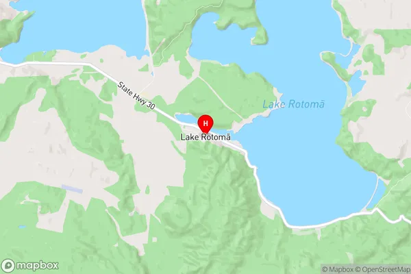
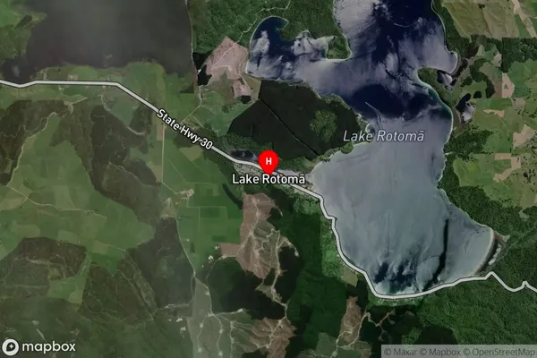
Lake Rotoma is a small lake in the Bay of Plenty region of New Zealand. It is a popular destination for fishing, boating, and water sports, and is surrounded by picturesque native forests and farmland. The lake is also home to a variety of bird species, including the rare New Zealand teal. The lake was formed by a volcanic eruption thousands of years ago and is fed by underground springs. It has a surface area of around 1.5 square kilometers and a depth of up to 10 meters.Lake Rotoma Region
Lake Rotoma City
Lake Rotoma Satellite Map
Full Address
Lake Rotoma, Rotorua, Bay of PlentyLake Rotoma Coordinates
-38.050511,176.562465 (Latitude / Longitude)Lake Rotoma Map in NZ
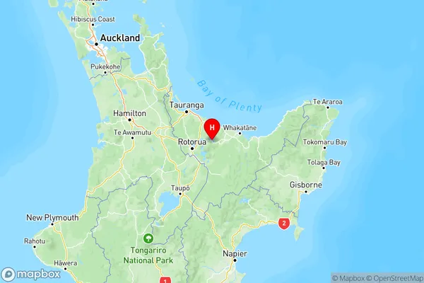
NZ Island
North IslandCountry
Lake Rotoma Area Map (Polygon)
Not available for nowName
Lake RotomaAdditional Name
RotoitiLocal Authority
Rotorua District
Lake Rotoma Suburbs (Sort by Population)
Lake Rotoma also known as Rotoiti. Lake Rotoma suburb has around
-1.2 square
kilometers.There are more than 418 people (estimated)
live in Lake Rotoma, Rotorua, Bay of Plenty, New Zealand.