Fairy Springs Suburbs & Region, Fairy Springs Map & Postcodes in Fairy Springs, Rotorua, Bay of Plenty
Fairy Springs Postcodes, Fairy Springs ZipCodes, Fairy Springs , Fairy Springs Bay of Plenty, Fairy Springs Suburbs, Fairy Springs Region, Fairy Springs Map, Fairy Springs Area
Fairy Springs Region
Fairy Springs Suburbs
Fairy Springs is a suburb place type in Rotorua, Bay of Plenty, NZ. It contains 0 suburbs or localities.Fairy Springs Postcodes
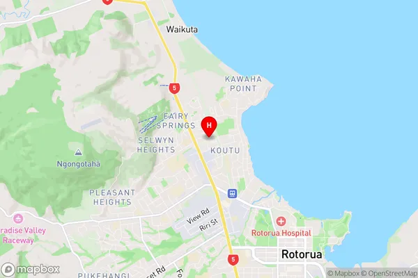
Fairy Springs Region Map
Fairy Springs Introduction
Fairy Springs is a geothermal area in the Bay of Plenty, New Zealand. It is known for its colorful and fragrant geysers, which are a result of the mixing of hot water with minerals. The springs have a temperature of around 90°C (194°F) and are a popular tourist attraction. Visitors can walk around the springs and watch the geysers erupt, which can happen several times an hour. The area also has a number of hiking trails and a visitor center that provides information about the local flora and fauna.Fairy Springs Region
Fairy Springs City
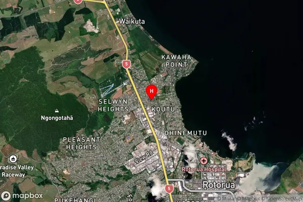
Fairy Springs Satellite Map
Full Address
Fairy Springs, Rotorua, Bay of PlentyFairy Springs Coordinates
-38.115757,176.230111 (Latitude / Longitude)Fairy Springs Map in NZ
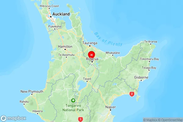
NZ Island
North IslandCountry