Maromaku Suburbs & Region, Maromaku Map & Postcodes in Maromaku, Far North, Northland
Maromaku Postcodes, Maromaku ZipCodes, Maromaku , Maromaku Northland, Maromaku Suburbs, Maromaku Region, Maromaku Map, Maromaku Area
Maromaku Region
Maromaku Suburbs
Maromaku is a suburb place type in Far North, Northland, NZ. It contains 0 suburbs or localities.Maromaku district
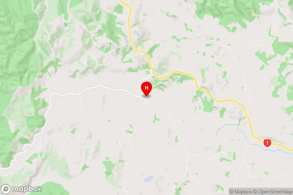
Far NorthMaromaku Region Map
Maromaku Introduction
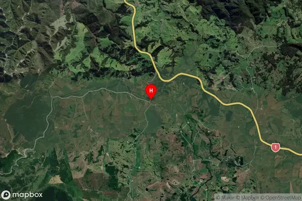
Maromaku is a small settlement in Northland, New Zealand. It is located on State Highway 12, approximately 12 kilometers south of Kaitaia and 16 kilometers north of Kaikohe. The settlement has a population of around 50 people and is known for its scenic views and peaceful atmosphere. The area is surrounded by farmland and native bush, and the nearby Maromaku Forest is a popular spot for hiking and tramping. The settlement also has a small community hall and a post office.Maromaku Region
Maromaku City
Maromaku Satellite Map
Full Address
Maromaku, Far North, NorthlandMaromaku Coordinates
-35.481133,174.095921 (Latitude / Longitude)Maromaku Map in NZ

NZ Island
North IslandCountry