Mangonui Suburbs & Region, Mangonui Map & Postcodes in Mangonui, Far North, Northland
Mangonui Postcodes, Mangonui ZipCodes, Mangonui , Mangonui Northland, Mangonui Suburbs, Mangonui Region, Mangonui Map, Mangonui Area
Mangonui Region
Mangonui Suburbs
Mangonui is a suburb place type in Far North, Northland, NZ. It contains 0 suburbs or localities.Mangonui district
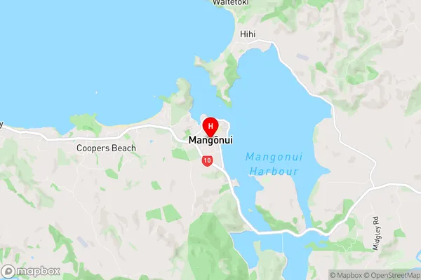
Far NorthMangonui Region Map

Mangonui Introduction
Mangonui is a small town on the northern coast of New Zealand's Northland Region. It is known for its long sandy beaches, clear waters, and stunning coastal scenery. The town is a popular destination for tourists and has a variety of accommodations, restaurants, and recreational facilities. It is also home to the Mangonui Harbour, which is a major fishing and shipping port. The town is surrounded by a number of natural attractions, including the Cape Reinga Lighthouse, the Hokianga Harbour, and the Te **** Coastal Reserve.Mangonui Region
Mangonui City
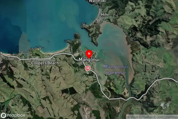
Mangonui Satellite Map

Full Address
Mangonui, Far North, NorthlandMangonui Coordinates
-34.992899,173.532321 (Latitude / Longitude)Mangonui Map in NZ

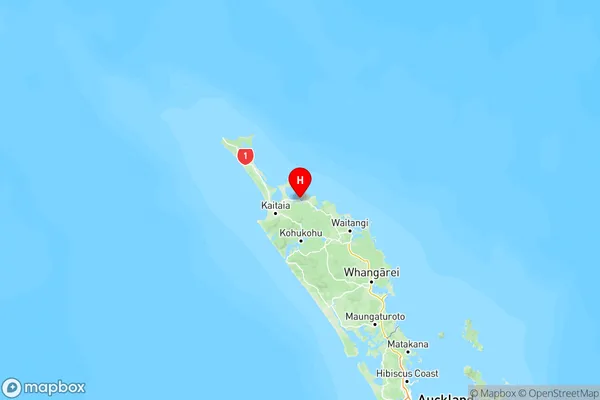
NZ Island
North IslandCountry