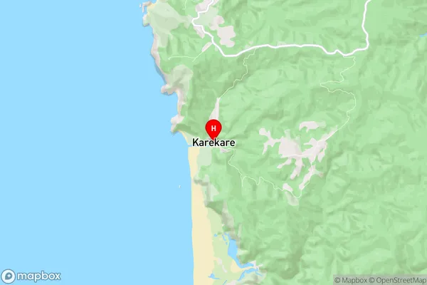
Karekare Suburbs & Region, Karekare Map & Postcodes in Karekare, Waitakere, Auckland, North Island, New Zealand
Karekare Postcodes, Karekare ZipCodes, Karekare , Karekare Auckland, Karekare Suburbs, Karekare Region, Karekare Map, Karekare Area
Karekare Region
Karekare Suburbs
Karekare is a suburb place type in Waitakere, Auckland, North Island, New Zealand, NZ. It contains 0 suburbs or localities.Karekare Postcodes
Karekare district
WaitakereKarekare Region Map

Karekare Introduction
Karekare is a suburb of Auckland, New Zealand, located in the North Shore region. It is known for its scenic beach, lush green parks, and vibrant cultural community. The area has a rich history, with many ancient Maori settlements and archaeological sites. Karekare Beach is a popular spot for swimming, sunbathing, and surfing, and it is surrounded by native bush and farmland. The suburb also has a number of popular restaurants, cafes, and shops, including a large supermarket and a popular farmers' market. Karekare is a peaceful and welcoming community with a strong sense of community spirit.Karekare Region
Karekare City
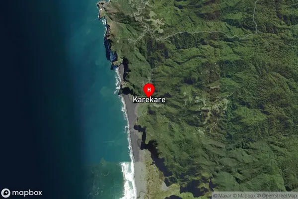
Karekare Satellite Map

Full Address
Karekare, Waitakere, Auckland, North Island, New ZealandKarekare Coordinates
-36.986142,174.478749 (Latitude / Longitude)Karekare Map in NZ

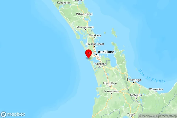
NZ Island
North IslandCountry
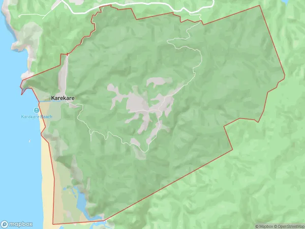
Karekare Area Map (Polygon)

Name
KarekareAdditional Name
Local Authority
Auckland
Karekare Suburbs (Sort by Population)
Karekare suburb has around
21.0 square
kilometers.There are more than 323 people (estimated)
live in Karekare, Waitākere Ranges, Auckland, New Zealand.