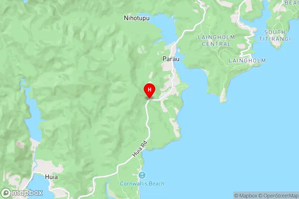
Huia Suburbs & Region, Huia Map & Postcodes in Huia, Waitakere City, Auckland
Huia Postcodes, Huia ZipCodes, Huia , Huia Auckland, Huia Suburbs, Huia Region, Huia Map, Huia Area
Huia Region (Little Huia, Whatipu Region)
Huia Suburbs
Huia is a suburb place type in Waitakere City, Auckland, NZ. It contains 0 suburbs or localities.Huia Postcodes
Huia district
WaitakereHuia Region Map

Huia Introduction
Huia is a suburb of Auckland, New Zealand, located in the Waitakere Ranges. It is known for its lush forests, waterfalls, and scenic walking trails. The suburb has a rich cultural heritage, with many historic buildings and sites, including the Huia Lodge, a former hotel built in the 1920s. Huia is also home to a large population of native birds, including the rare Huia tree, which is native to New Zealand and is considered to be endangered. The suburb is located about 20 kilometers from Auckland City and is easily accessible by car or public transport.Huia Region
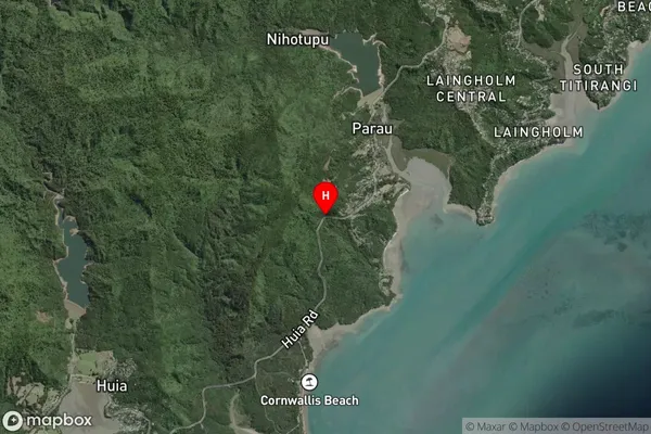
Huia Satellite Map

Full Address
Huia, Waitakere City, AucklandHuia Coordinates
-36.9784021,174.6066892 (Latitude / Longitude)Huia Map in NZ

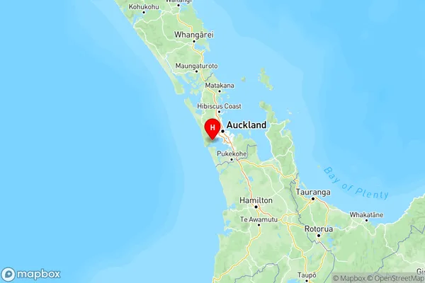
NZ Island
North IslandCountry
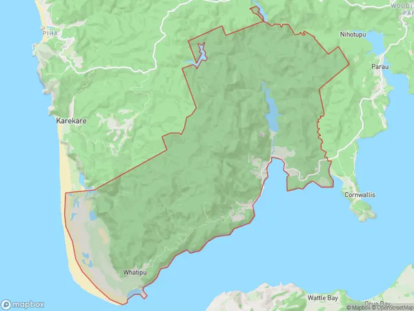
Huia Area Map (Polygon)

Name
HuiaAdditional Name
Little Huia, WhatipuLocal Authority
Auckland
Huia Suburbs (Sort by Population)
Huia also known as Little Huia, Whatipu. Huia suburb has around
68.9 square
kilometers.There are more than 694 people (estimated)
live in Huia, Waitākere Ranges, Auckland, New Zealand.