Bethells Beach Suburbs & Region, Bethells Beach Map & Postcodes in Bethells Beach, Waitakere City, Auckland
Bethells Beach Postcodes, Bethells Beach ZipCodes, Bethells Beach , Bethells Beach Auckland, Bethells Beach Suburbs, Bethells Beach Region, Bethells Beach Map, Bethells Beach Area
Bethells Beach Region
Bethells Beach Suburbs
Bethells Beach is a suburb place type in Waitakere City, Auckland, NZ. It contains 0 suburbs or localities.Bethells Beach district
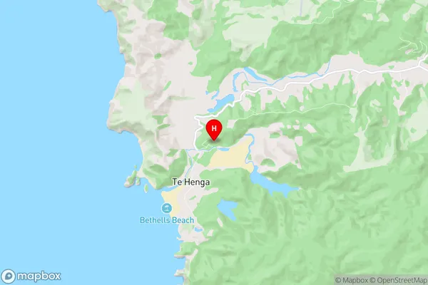
WaitakereBethells Beach Region Map

Bethells Beach Introduction
Bethells Beach is a popular beach located in the western suburbs of Auckland, New Zealand. It is known for its wide sandy beach, stunning coastal views, and tranquil atmosphere. The beach is a popular spot for swimming, sunbathing, and beach volleyball, and it is also home to a large number of bird species. The area has a rich history, with evidence of early Māori settlement dating back to over 1,000 years ago. The beach is surrounded by native bush and trees, and there are several walking and cycling trails that lead through the area. There are also several cafes and restaurants located nearby, making it a convenient place to spend a day or weekend.Bethells Beach Region
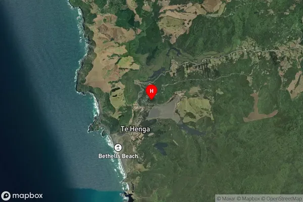
Bethells Beach Satellite Map

Full Address
Bethells Beach, Waitakere City, AucklandBethells Beach Coordinates
-36.882027,174.455833 (Latitude / Longitude)Bethells Beach Map in NZ

NZ Island
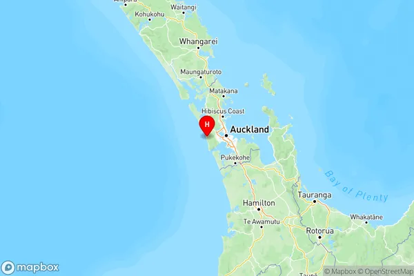
North IslandCountry