Stanley Point Suburbs & Region, Stanley Point Map & Postcodes in Stanley Point, North Shore City, Auckland
Stanley Point Postcodes, Stanley Point ZipCodes, Stanley Point , Stanley Point Auckland, Stanley Point Suburbs, Stanley Point Region, Stanley Point Map, Stanley Point Area
Stanley Point Region (Stanley Pt Region)
Stanley Point Suburbs
Stanley Point is a suburb place type in North Shore City, Auckland, NZ. It contains 0 suburbs or localities.Stanley Point Postcodes
Stanley Point district
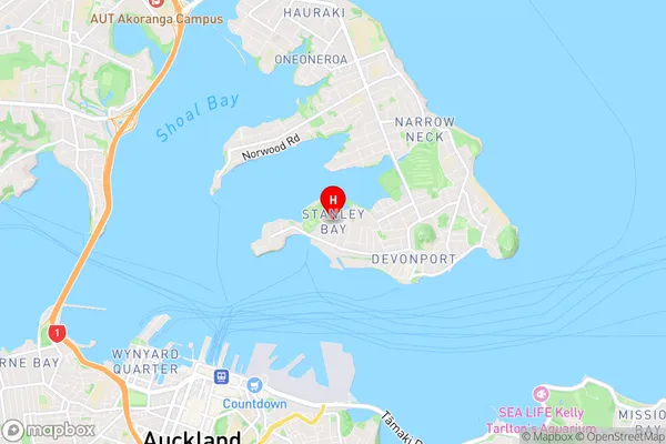
North ShoreStanley Point Region Map

Stanley Point Introduction
Stanley Point is a headland on the eastern coast of the North Island of New Zealand, located in the Auckland Region. It is a popular spot for outdoor activities such as hiking, picnicking, and fishing, with stunning views of the surrounding coastline and the Auckland Harbour. The point is also home to a historic lighthouse, built in 1888, which provides a guide to ships entering the harbor. The area is surrounded by native bush and wildlife, including the rare North Island brown kiwi, and is a popular destination for birdwatchers.Stanley Point Region
Stanley Point City
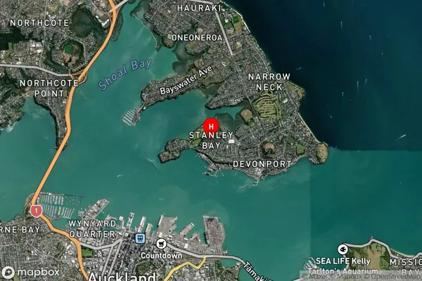
Stanley Point Satellite Map

Full Address
Stanley Point, North Shore City, AucklandStanley Point Coordinates
-36.825045,174.784994 (Latitude / Longitude)Stanley Point Map in NZ

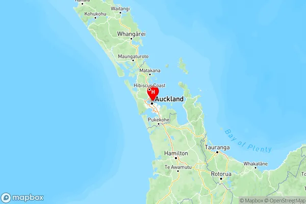
NZ Island
North IslandCountry
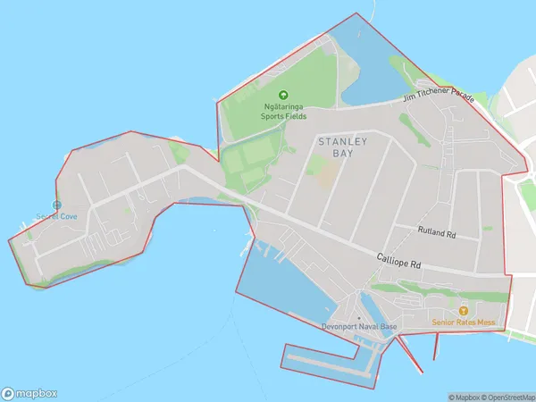
Stanley Point Area Map (Polygon)

Name
Stanley PointAdditional Name
Stanley PtLocal Authority
Auckland
Stanley Point Suburbs (Sort by Population)
Stanley Point also known as Stanley Pt. Stanley Point suburb has around
1.3 square
kilometers.There are more than 1910 people (estimated)
live in Stanley Point, Devonport-Takapuna, Auckland, New Zealand.