Maraetai Suburbs & Region, Maraetai Map & Postcodes in Maraetai, Auckland, North Island, New Zealand
Maraetai Postcodes, Maraetai ZipCodes, Maraetai , Maraetai Auckland, Maraetai Suburbs, Maraetai Region, Maraetai Map, Maraetai Area
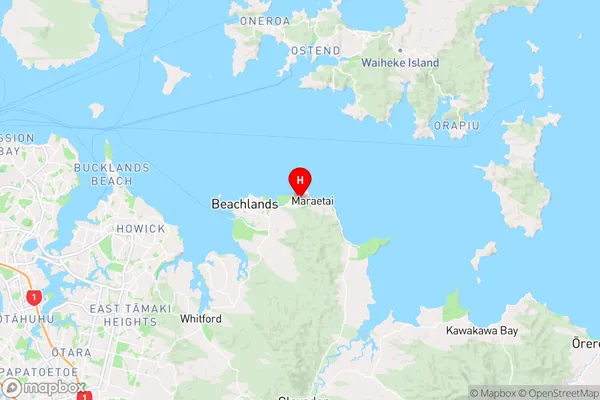
Maraetai Region (Maraetai Beach, Omana Beach Region)
Maraetai Suburbs
Maraetai is a city place type in Auckland, North Island, New Zealand, NZ. It contains 0 suburbs or localities.Maraetai Region Map
Maraetai Introduction
Maraetai is a suburb of Auckland, New Zealand, located in the eastern part of the city. It is known for its beautiful beaches, lush parks, and vibrant community. The suburb has a population of around 40,000 people and is situated between the Tamaki River and the Auckland Harbour. Maraetai is a popular destination for families and outdoor enthusiasts, with many walking and cycling tracks, and a variety of recreational facilities. The area also has a number of schools, including primary and secondary schools, and a community center.Maraetai Region
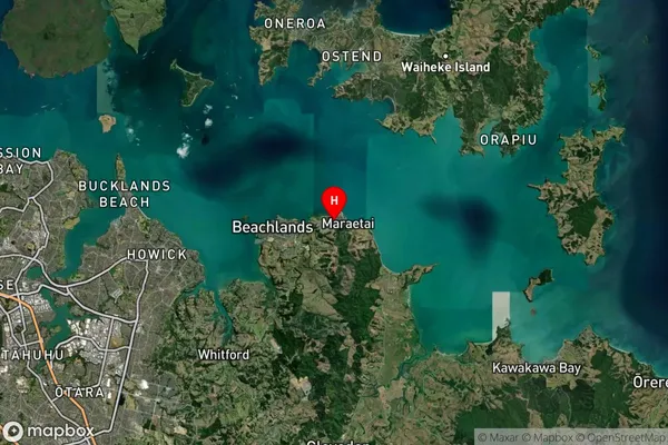
Maraetai Satellite Map
Full Address
Maraetai, Auckland, North Island, New ZealandMaraetai Coordinates
-36.8802308,175.0340814 (Latitude / Longitude)Maraetai Map in NZ
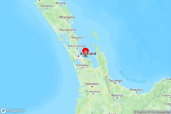
NZ Island
North IslandCountry
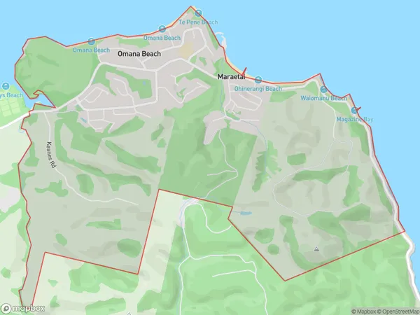
Maraetai Area Map (Polygon)
Name
MaraetaiAdditional Name
Maraetai Beach, Omana BeachLocal Authority
Auckland
Maraetai Suburbs (Sort by Population)
Maraetai also known as Maraetai Beach, Omana Beach. Maraetai suburb has around
8.4 square
kilometers.There are more than 2530 people (estimated)
live in Maraetai, Franklin, Auckland, New Zealand.