Goodwood Heights Suburbs & Region, Goodwood Heights Map & Postcodes in Goodwood Heights, South Auckland, Auckland, North Island, New Zealand
Goodwood Heights Postcodes, Goodwood Heights ZipCodes, Goodwood Heights , Goodwood Heights Auckland, Goodwood Heights Suburbs, Goodwood Heights Region, Goodwood Heights Map, Goodwood Heights Area
Goodwood Heights Region
Goodwood Heights Suburbs
Goodwood Heights is a suburb place type in South Auckland, Auckland, North Island, New Zealand, NZ. It contains 0 suburbs or localities.Goodwood Heights Postcodes
Goodwood Heights district
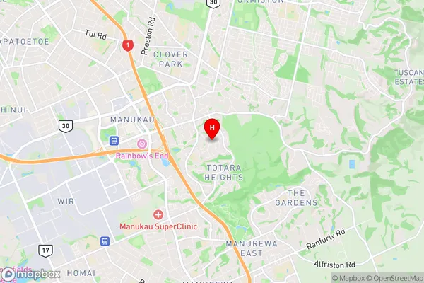
South AucklandGoodwood Heights Region Map

Goodwood Heights Introduction
Goodwood Heights is a suburb of Auckland, New Zealand. It is located in the eastern part of the city, between the suburbs of Remuera, Newmarket, and Eden Park. Goodwood Heights is known for its leafy streets, historic homes, and peaceful atmosphere. The area has a variety of shops, restaurants, and recreational facilities, including Goodwood Park, a large public park with walking trails and a playground. Goodwood Heights is also home to several prestigious schools, including Auckland Grammar School and St. Kentigern College. The suburb is well-connected to the rest of the city by public transport, with several bus routes and the Auckland Train Station nearby.Goodwood Heights Region
Goodwood Heights City
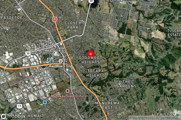
Goodwood Heights Satellite Map

Full Address
Goodwood Heights, South Auckland, Auckland, North Island, New ZealandGoodwood Heights Coordinates
-36.994181,174.900716 (Latitude / Longitude)Goodwood Heights Map in NZ

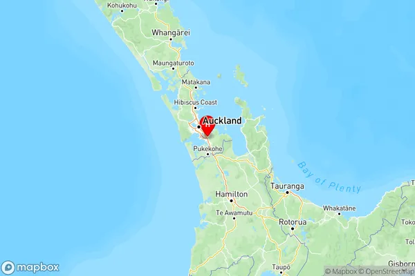
NZ Island
North IslandCountry
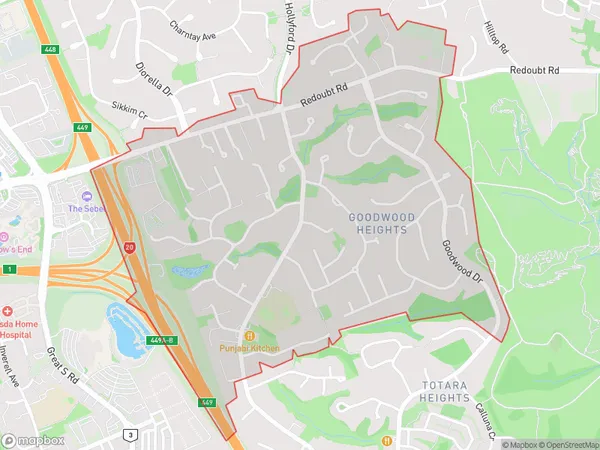
Goodwood Heights Area Map (Polygon)

Name
Goodwood HeightsAdditional Name
Local Authority
Auckland
Goodwood Heights Suburbs (Sort by Population)
Goodwood Heights suburb has around
1.8 square
kilometers.There are more than 5730 people (estimated)
live in Goodwood Heights, Manurewa, Auckland, New Zealand.