Waikouaiti Suburbs & Region, Waikouaiti Map & Postcodes in Waikouaiti, Otago
Waikouaiti Postcodes, Waikouaiti ZipCodes, Waikouaiti , Waikouaiti Otago, Waikouaiti Suburbs, Waikouaiti Region, Waikouaiti Map, Waikouaiti Area
Waikouaiti Region
Waikouaiti Suburbs
Waikouaiti is a city place type in Otago, NZ. It contains 0 suburbs or localities.Waikouaiti Postcodes
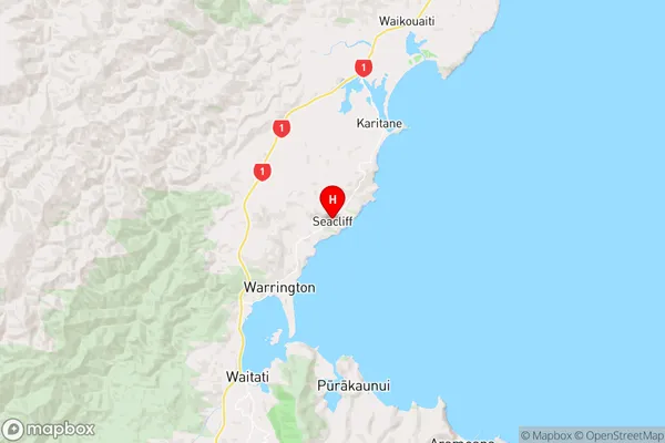
Waikouaiti Region Map
Waikouaiti Introduction
Waikouaiti is a small coastal town in Otago, New Zealand, located on the eastern coast of the South Island. It is known for its stunning beaches, rugged coastline, and tranquil atmosphere. The town has a population of around 1,200 people and is surrounded by picturesque farmland and the Taieri River. Waikouaiti is a popular destination for tourists and locals alike, with many activities to enjoy, including surfing, fishing, hiking, and cycling. The town also has a historic church, a museum, and a variety of cafes and restaurants.Waikouaiti Region
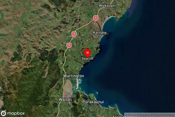
Waikouaiti Satellite Map
Full Address
Waikouaiti, OtagoWaikouaiti Coordinates
-45.680609,170.625399 (Latitude / Longitude)Waikouaiti Map in NZ
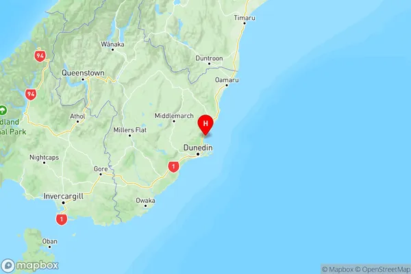
NZ Island
South IslandCountry