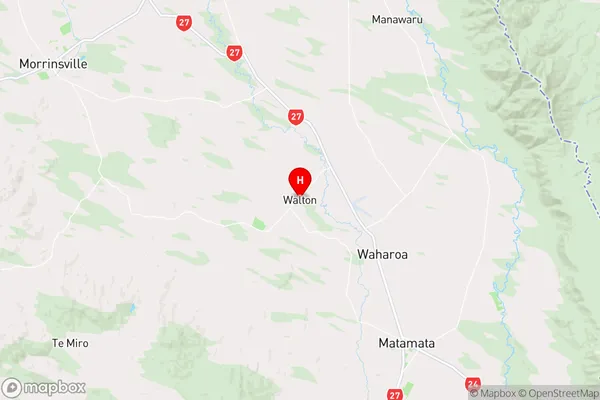
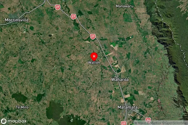
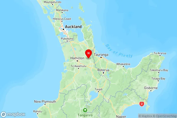
Walton Suburbs & Region, Walton Map & Postcodes in Walton, Waikato

Walton Postcodes, Walton ZipCodes, Walton , Walton Waikato, Walton Suburbs, Walton Region, Walton Map, Walton Area

Walton Region

  • Walton Suburbs

    Walton is a city place type in Waikato, NZ. It contains 0 suburbs or localities.
  • Walton Postcodes

    3475
  • Walton Region Map

    Walton, Waikato Region Map
  • Walton Introduction

    Walton, Waikato, New Zealand, is a small rural town located on the banks of the Waikato River. It is known for its beautiful countryside, historic buildings, and friendly community. The town has a population of around 1,200 people and is home to a variety of businesses, including a supermarket, a hardware store, a pharmacy, and a café. Walton also has a primary school, a post office, and a community hall. The town is surrounded by farmland and has a peaceful, rural atmosphere. It is a popular destination for tourists and locals alike, with many outdoor activities to enjoy, including hiking, cycling, fishing, and hunting.
  • Walton Region

  • Walton Satellite Map

    Walton, Waikato Satellite Map
  • Full Address

    Walton, Waikato
  • Walton Coordinates

    -37.731868,175.699999 (Latitude / Longitude)
  • Walton Map in NZ

    Walton, Waikato Region Map
  • NZ Island

    North Island

Walton Suburbs (Sort by Population)

Walton Suburbs (Sort in alphabetical)