Mokau Suburbs & Region, Mokau Map & Postcodes in Mokau, Waikato
Mokau Postcodes, Mokau ZipCodes, Mokau , Mokau Waikato, Mokau Suburbs, Mokau Region, Mokau Map, Mokau Area
Mokau Region (Mackford, Pukemoe Region)
Mokau Suburbs
Mokau is a city place type in Waikato, NZ. It contains 3 suburbs or localities.Mokau Postcodes
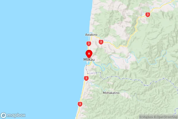
Mokau Region Map
Mokau Introduction
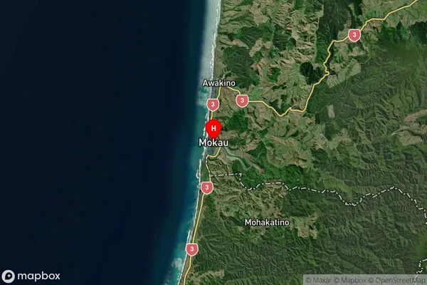
Mokau is a small town in the Waikato region of New Zealand, located on the banks of the Mokau River. It is known for its scenic beauty, with rolling hills and lush green fields surrounding the town. Mokau has a population of around 1,000 people and is a popular destination for outdoor activities such as hiking, fishing, and hunting. The town also has a golf course and a community hall, which hosts a variety of events and activities throughout the year. Mokau is located about 35 kilometers south of Hamilton and 120 kilometers north of Auckland, making it an ideal location for a day trip or weekend getaway.Mokau Region
Mokau Satellite Map
Full Address
Mokau, WaikatoMokau Coordinates
-38.69764,174.620551 (Latitude / Longitude)Mokau Map in NZ
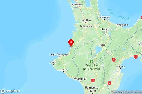
NZ Island
North IslandCountry
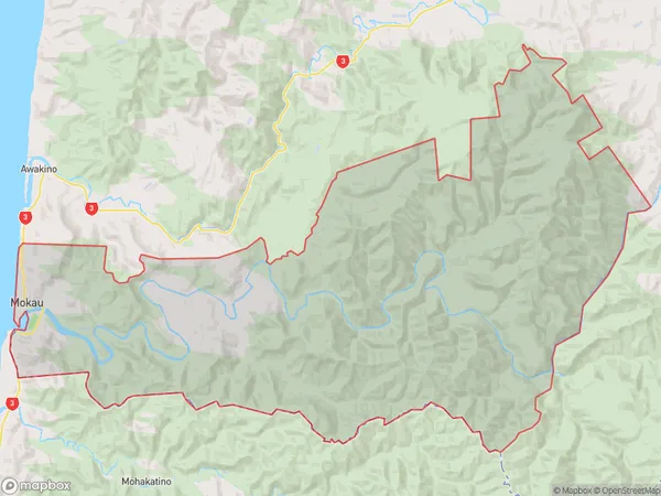
Mokau Area Map (Polygon)
Name
MokauAdditional Name
Mackford, PukemoeLocal Authority
Waitomo District
Mokau Suburbs (Sort by Population)
Mokau
Mokau - 154Awakino
Awakino - 96Mohakatino
Mohakatino - 23