Fruitlands Suburbs & Region, Fruitlands Map & Postcodes in Fruitlands, Central Otago, Central Otago / Lakes District, Otago, South Island, New Zealand
Fruitlands Postcodes, Fruitlands ZipCodes, Fruitlands , Fruitlands Otago, Fruitlands Suburbs, Fruitlands Region, Fruitlands Map, Fruitlands Area
Fruitlands Region (Gorge Creek, Otago Goldfields, Tawhiti Region)
Fruitlands Suburbs
Fruitlands is a suburb place type in Central Otago, Central Otago / Lakes District, Otago, South Island, New Zealand, NZ. It contains 0 suburbs or localities.Fruitlands Postcodes
Fruitlands district
Central OtagoFruitlands Region Map

Fruitlands Introduction
Fruitlands is a small town located in the Otago region of New Zealand, about 20 kilometers southeast of Dunedin. It is known for its fruit production, with a large number of orchards and vineyards in the surrounding area. The town has a population of around 2,000 people and is a popular tourist destination, particularly during the summer months when the fruit is in season. Fruitlands also has a historic church, a primary school, and a variety of shops and cafes. The town is surrounded by beautiful countryside and is a popular spot for hiking, cycling, and fishing.Fruitlands Region
Fruitlands City
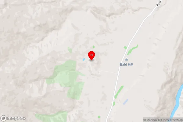
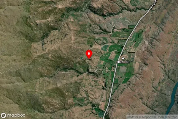
Fruitlands Satellite Map

Full Address
Fruitlands, Central Otago, Central Otago / Lakes District, Otago, South Island, New ZealandFruitlands Coordinates
-45.337874,169.286332 (Latitude / Longitude)Fruitlands Map in NZ

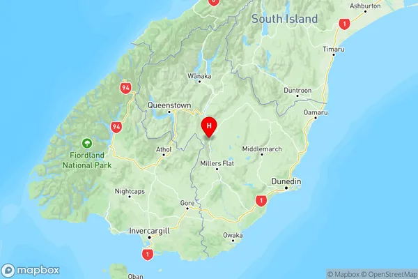
NZ Island
South IslandCountry
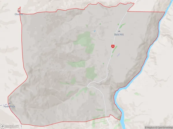
Fruitlands Area Map (Polygon)

Name
FruitlandsAdditional Name
Gorge Creek, Otago Goldfields, TawhitiLocal Authority
Central Otago District
Fruitlands Suburbs (Sort by Population)
Fruitlands also known as Gorge Creek, Otago Goldfields, Tawhiti. Fruitlands suburb has around
97.8 square
kilometers.There are more than 68 people (estimated)
live in Fruitlands, Vincent Community, Otago, New Zealand.