Parihaka Pa Suburbs & Region, Parihaka Pa Map & Postcodes in Parihaka Pa, Opunake, Taranaki
Parihaka Pa Postcodes, Parihaka Pa ZipCodes, Parihaka Pa , Parihaka Pa Taranaki, Parihaka Pa Suburbs, Parihaka Pa Region, Parihaka Pa Map, Parihaka Pa Area
Parihaka Pa Region
Parihaka Pa Suburbs
Parihaka Pa is a suburb place type in Opunake, Taranaki, NZ. It contains 0 suburbs or localities.Parihaka Pa Postcodes
Parihaka Pa district
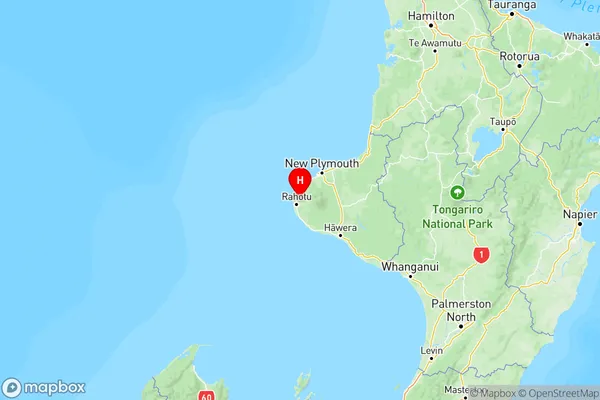
South TaranakiParihaka Pa Region Map

Parihaka Pa Introduction
Parihaka Pa, located in Taranaki, New Zealand, was a significant Māori political and cultural center from 1860 to 1887. It was established by Te Whiti o Rongomai, a prominent Māori leader, and was known for its peaceful resistance to colonialism. The pa was a center of learning, culture, and political activism, and it played a key role in the Māori land wars of the 1860s and 1870s. The pa was destroyed by government forces in 1887, and its ruins are now a historic site and a place of pilgrimage for Māori.Parihaka Pa Region
Parihaka Pa City
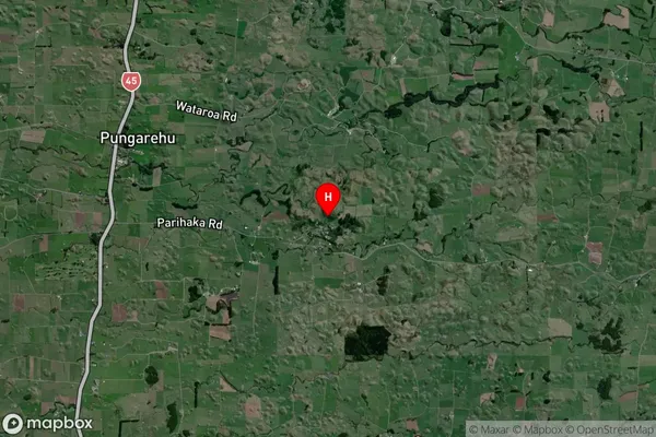
Parihaka Pa Satellite Map

Full Address
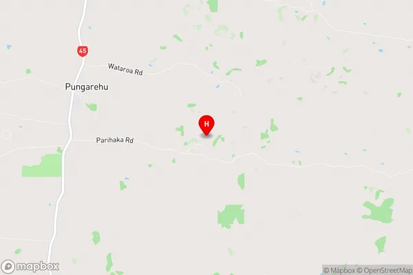
Parihaka Pa, Opunake, TaranakiParihaka Pa Coordinates
-39.287088,173.840629 (Latitude / Longitude)Parihaka Pa Map in NZ

NZ Island
North IslandCountry