Tutamoe Suburbs & Region, Tutamoe Map & Postcodes in Tutamoe, Dargaville, Northland
Tutamoe Postcodes, Tutamoe ZipCodes, Tutamoe , Tutamoe Northland, Tutamoe Suburbs, Tutamoe Region, Tutamoe Map, Tutamoe Area
Tutamoe Region (Mangatu, Oranoa, Tutamoe, Waimatenui Region)
Tutamoe Suburbs
Tutamoe is a suburb place type in Dargaville, Northland, NZ. It contains 0 suburbs or localities.Tutamoe Postcodes
Tutamoe district
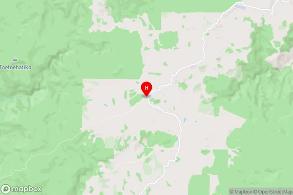
KaiparaTutamoe Region Map
Tutamoe Introduction
Tutamoe is a small rural community in Northland, New Zealand. It is located on the Tutamoe River, approximately 120 kilometers north of Whangarei. The community has a population of around 100 people and is known for its scenic surroundings and traditional Maori culture. The area is popular with outdoor enthusiasts, with many opportunities for hiking, fishing, and hunting. Tutamoe also has a historic church and a community hall, which are used for various events and gatherings. The community is surrounded by farmland and forest, and the nearby Tutamoe Forest Park is a popular destination for nature walks and picnics.Tutamoe Region
Tutamoe City
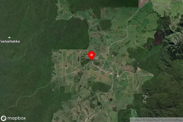
Tutamoe Satellite Map
Full Address
Tutamoe, Dargaville, NorthlandTutamoe Coordinates
-35.652664,173.653913 (Latitude / Longitude)Tutamoe Map in NZ
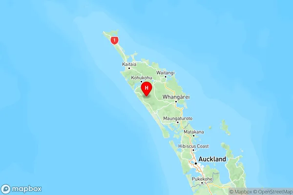
NZ Island
North IslandCountry
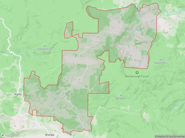
Tutamoe Area Map (Polygon)
Name
Donnellys CrossingAdditional Name
Mangatu, Oranoa, Tutamoe, WaimatenuiLocal Authority
Kaipara District
Tutamoe Suburbs (Sort by Population)
Donnellys Crossing also known as Mangatu, Oranoa, Tutamoe, Waimatenui. Donnellys Crossing suburb has around
139.2 square
kilometers.There are more than 186 people (estimated)
live in Donnellys Crossing, Dargaville, Northland, New Zealand.