Mamaranui Suburbs & Region, Mamaranui Map & Postcodes in Mamaranui, Dargaville, Northland
Mamaranui Postcodes, Mamaranui ZipCodes, Mamaranui , Mamaranui Northland, Mamaranui Suburbs, Mamaranui Region, Mamaranui Map, Mamaranui Area
Mamaranui Region (Kairara, Maitahi, Waihue Region)
Mamaranui Suburbs
Mamaranui is a suburb place type in Dargaville, Northland, NZ. It contains 0 suburbs or localities.Mamaranui Postcodes
Mamaranui district
KaiparaMamaranui Region Map

Mamaranui Introduction
Mamaranui is a small town in Northland, New Zealand, located on the Bay of Islands. It is known for its stunning beaches, crystal-clear waters, and lush tropical forests. The town is a popular tourist destination and is home to a variety of wildlife, including dolphins, whales, and sea turtles. Visitors can explore the town's historic sites, including the Old St. Paul's Church and the Te Papa-Otai Tongarewa Museum, or relax on the beach and enjoy the local cuisine.Mamaranui Region
Mamaranui City
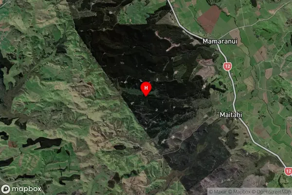
Mamaranui Satellite Map

Full Address
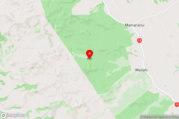
Mamaranui, Dargaville, NorthlandMamaranui Coordinates
-35.850736,173.729262 (Latitude / Longitude)Mamaranui Map in NZ

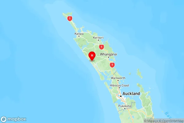
NZ Island
North IslandCountry
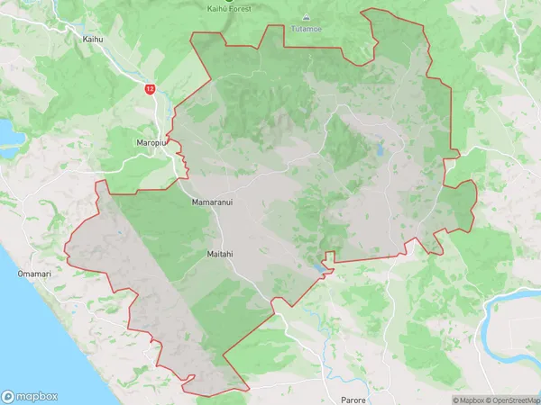
Mamaranui Area Map (Polygon)

Name
MamaranuiAdditional Name
Kairara, Maitahi, WaihueLocal Authority
Kaipara District
Mamaranui Suburbs (Sort by Population)
Mamaranui also known as Kairara, Maitahi, Waihue. Mamaranui suburb has around
199.7 square
kilometers.There are more than 312 people (estimated)
live in Mamaranui, Dargaville, Northland, New Zealand.