Kirikopuni Suburbs & Region, Kirikopuni Map & Postcodes in Kirikopuni, Tangiteroria, Northland
Kirikopuni Postcodes, Kirikopuni ZipCodes, Kirikopuni , Kirikopuni Northland, Kirikopuni Suburbs, Kirikopuni Region, Kirikopuni Map, Kirikopuni Area
Kirikopuni Region (Kirikopuni, Pekapekarau, Waiotama Region)
Kirikopuni Suburbs
Kirikopuni is a suburb place type in Tangiteroria, Northland, NZ. It contains 0 suburbs or localities.Kirikopuni Postcodes
Kirikopuni district
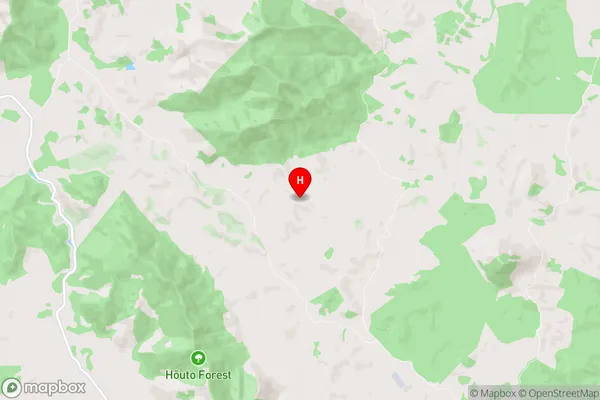
KaiparaKirikopuni Region Map
Kirikopuni Introduction
Kirikopuni is a small rural community in Northland, New Zealand, located on the banks of the Hokianga River. It is known for its stunning natural scenery, including waterfalls, forests, and a picturesque beach. The community has a population of around 100 people and is home to a primary school, a church, and a few small businesses. Kirikopuni is a popular destination for tourists who enjoy hiking, fishing, and kayaking. The area is also home to a number of cultural landmarks, including a historic pa site and a traditional Maori meeting house.Kirikopuni Region
Kirikopuni City
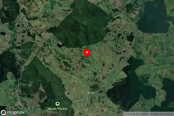
Kirikopuni Satellite Map
Full Address
Kirikopuni, Tangiteroria, NorthlandKirikopuni Coordinates
-35.764102,173.947652 (Latitude / Longitude)Kirikopuni Map in NZ

NZ Island
North IslandCountry
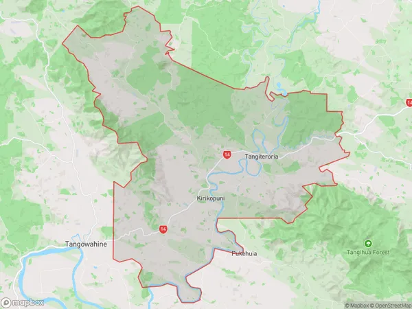
Kirikopuni Area Map (Polygon)
Name
TangiteroriaAdditional Name
Kirikopuni, Pekapekarau, WaiotamaLocal Authority
Kaipara District
Kirikopuni Suburbs (Sort by Population)
Tangiteroria also known as Kirikopuni, Pekapekarau, Waiotama. Tangiteroria suburb has around
166.4 square
kilometers.There are more than 359 people (estimated)
live in Tangiteroria, Tangiteroria, Northland, New Zealand.