Auckland Airport Suburbs & Region, Auckland Airport Map & Postcodes in Auckland Airport, South Auckland, Auckland, North Island, New Zealand
Auckland Airport Postcodes, Auckland Airport ZipCodes, Auckland Airport , Auckland Airport Auckland, Auckland Airport Suburbs, Auckland Airport Region, Auckland Airport Map, Auckland Airport Area
Auckland Airport Region (Mangere South Region)
Auckland Airport Suburbs
Auckland Airport is a suburb place type in South Auckland, Auckland, North Island, New Zealand, NZ. It contains 0 suburbs or localities.Auckland Airport Postcodes
Auckland Airport district
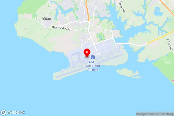
South AucklandAuckland Airport Region Map

Auckland Airport Introduction
Auckland Airport is New Zealand's primary and busiest airport, located 10 kilometers (6 miles) southeast of the city center. It is the hub for Air New Zealand, Jetstar, and several regional airlines, serving over 40 million passengers annually. The airport has two terminals, one for domestic flights and the other for international flights. It offers a wide range of services and amenities, including restaurants, shops, and Wi-Fi. Auckland Airport is also home to the New Zealand Air Force Base and the Royal New Zealand Air Force Museum.Auckland Airport Region
Auckland Airport City
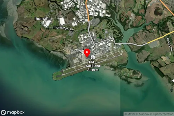
Auckland Airport Satellite Map

Full Address
Auckland Airport, South Auckland, Auckland, North Island, New ZealandAuckland Airport Coordinates
-37.0082476,174.7850358 (Latitude / Longitude)Auckland Airport Map in NZ

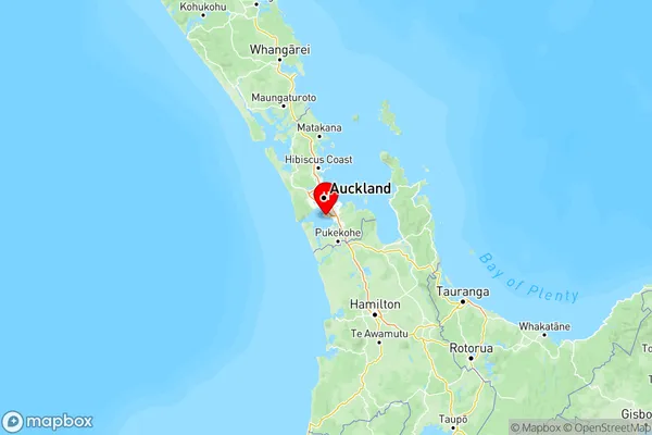
NZ Island
North IslandCountry
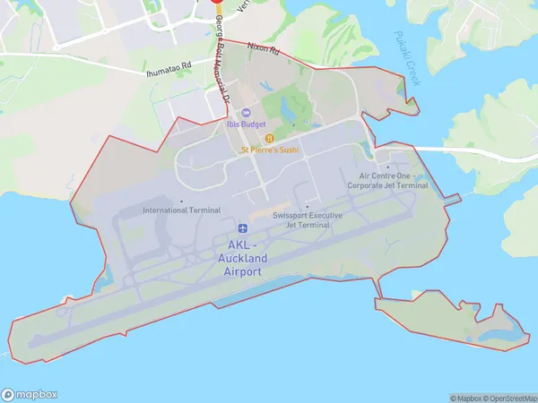
Auckland Airport Area Map (Polygon)

Name
Auckland AirportAdditional Name
Mangere SouthLocal Authority
Auckland
Auckland Airport Suburbs (Sort by Population)
Auckland Airport also known as Mangere South. Auckland Airport suburb has around
7.7 square
kilometers.There are more than 8 people (estimated)
live in Auckland Airport, Auckland, Auckland, New Zealand.