Whakatiwai Suburbs & Region, Whakatiwai Map & Postcodes in Whakatiwai, Franklin, Auckland
Whakatiwai Postcodes, Whakatiwai ZipCodes, Whakatiwai , Whakatiwai Auckland, Whakatiwai Suburbs, Whakatiwai Region, Whakatiwai Map, Whakatiwai Area
Whakatiwai Region (Matingarahi, Wharekawa Region)
Whakatiwai Suburbs
Whakatiwai is a suburb place type in Franklin, Auckland, NZ. It contains 0 suburbs or localities.Whakatiwai district
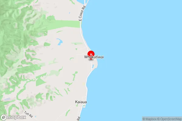
FranklinWhakatiwai Region Map

Whakatiwai Introduction
Whakatiwai is a suburb of Auckland, New Zealand, located in the North Shore City Council area. It is known for its scenic waterfront, with a peaceful harbor and a range of recreational facilities. The suburb has a mix of residential and commercial properties, with a population of around 10,000 people. It is also home to several important historical sites, including the Whakatiwai Marae, which is a significant meeting place for the local Māori community. Whakatiwai is well-connected to other parts of Auckland, with easy access to the city center via the motorway and public transportation. The area is popular with families and professionals alike, with a range of schools, parks, and recreational facilities.Whakatiwai Region
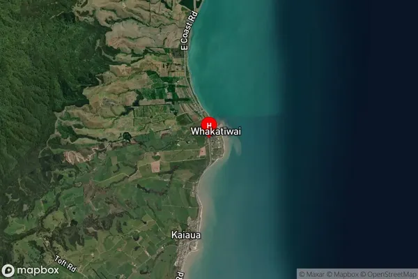
Whakatiwai Satellite Map

Full Address
Whakatiwai, Franklin, AucklandWhakatiwai Coordinates
-37.0893309,175.301882 (Latitude / Longitude)Whakatiwai Map in NZ

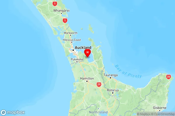
NZ Island
North IslandCountry
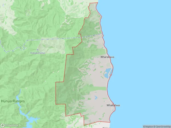
Whakatiwai Area Map (Polygon)

Name
WhakatiwaiAdditional Name
Matingarahi, WharekawaLocal Authority
Auckland, Hauraki District, Waikato District
Whakatiwai Suburbs (Sort by Population)
Whakatiwai also known as Matingarahi, Wharekawa. Whakatiwai suburb has around
48.6 square
kilometers.There are more than 430 people (estimated)
live in Whakatiwai, , Waikato, New Zealand.