Hunua Suburbs & Region, Hunua Map & Postcodes in Hunua, Franklin, Auckland

Hunua Postcodes, Hunua ZipCodes, Hunua , Hunua Auckland, Hunua Suburbs, Hunua Region, Hunua Map, Hunua Area

Hunua Region (Moumoukai, Paparimu, Ponga Region)

  • Hunua Suburbs

    Hunua is a suburb place type in Franklin, Auckland, NZ. It contains 1 suburbs or localities.
  • Hunua district

    Franklin
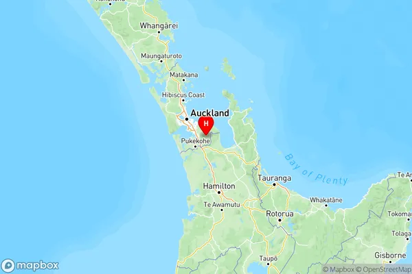
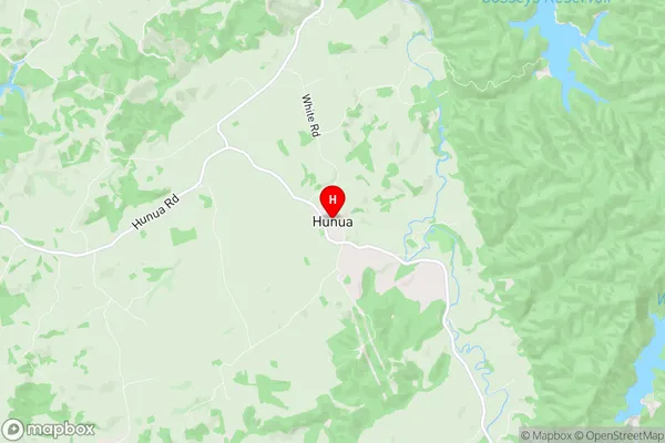
  • Hunua Region Map

    Hunua, Auckland Region Map
  • Hunua Introduction

    Hunua is a southern suburb of Auckland, New Zealand. It is located in the Manukau Harbour and is part of the Auckland Council's Southern Auckland region. The suburb has a population of around 6,000 people and is known for its scenic views, outdoor activities, and proximity to the Hunua Ranges. The area was originally settled by Māori tribes and has a rich cultural heritage. Hunua is also home to several important historical sites, including the Hunua Falls and the Hunua Pa site. The suburb has a variety of housing options, including apartments, townhouses, and standalone homes. There are several schools and recreational facilities in the area, including a library, a community center, and a sports park. The area is well-connected to other parts of Auckland via public transportation, and there are several shopping centers and restaurants in the vicinity.
  • Hunua Region

  • Hunua City

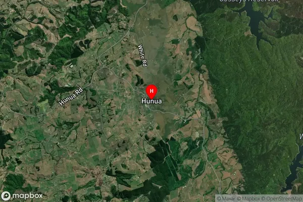
  • Hunua Satellite Map

    Hunua, Auckland Satellite Map
  • Full Address

    Hunua, Franklin, Auckland
  • Hunua Coordinates

    -37.07979,175.072972 (Latitude / Longitude)
  • Hunua Map in NZ

    Hunua, Auckland Region Map
  • NZ Island

    North Island
  • Hunua Area Map (Polygon)

    Hunua, Manawatu-Wanganui Polygon Area Map
  • Name

    Hunua
  • Additional Name

    Moumoukai, Paparimu, Ponga
  • Local Authority

    Auckland, Waikato District

Hunua Suburbs (Sort by Population)

Hunua Suburbs (Sort in alphabetical)