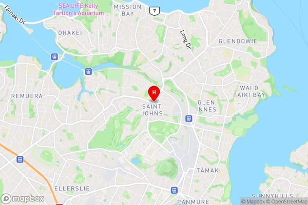
Saint Johns Suburbs & Region, Saint Johns Map & Postcodes in Saint Johns, Auckland Central, Auckland, North Island, New Zealand
Saint Johns Postcodes, Saint Johns ZipCodes, Saint Johns , Saint Johns Auckland, Saint Johns Suburbs, Saint Johns Region, Saint Johns Map, Saint Johns Area
Saint Johns Region
Saint Johns Suburbs
Saint Johns is a suburb place type in Auckland Central, Auckland, North Island, New Zealand, NZ. It contains 0 suburbs or localities.Saint Johns district
Auckland CentralSaint Johns Region Map

Saint Johns Introduction
Saint Johns is a suburb of Auckland, New Zealand, located in the Eastern suburbs. It is known for its vibrant community, diverse culture, and convenient location. The suburb has a population of around 8,000 people and is home to a mix of residential properties, businesses, and recreational facilities. Saint Johns is well-connected to other parts of Auckland via public transport, with several bus routes and the Auckland Train Station located within the suburb. The area is also home to a number of parks and green spaces, including Saint Johns Park and the Saint Johns Reserve.Saint Johns Region
Saint Johns City
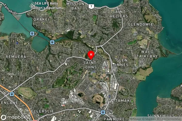
Saint Johns Satellite Map

Full Address
Saint Johns, Auckland Central, Auckland, North Island, New ZealandSaint Johns Coordinates
-36.8745646,174.8425114 (Latitude / Longitude)Saint Johns Map in NZ

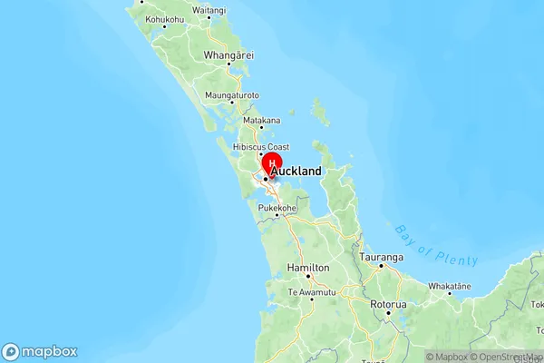
NZ Island
North IslandCountry