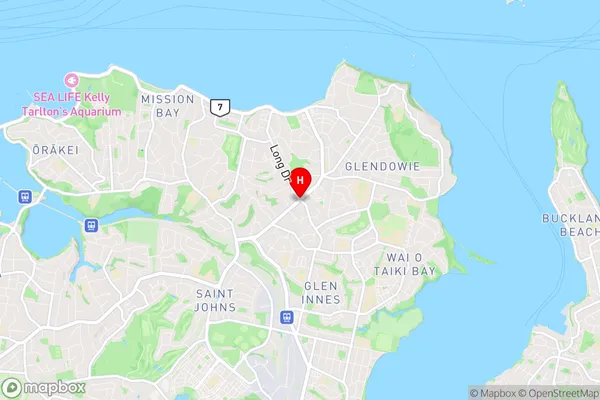
Saint Heliers Suburbs & Region, Saint Heliers Map & Postcodes in Saint Heliers, Auckland Central, Auckland, North Island, New Zealand
Saint Heliers Postcodes, Saint Heliers ZipCodes, Saint Heliers , Saint Heliers Auckland, Saint Heliers Suburbs, Saint Heliers Region, Saint Heliers Map, Saint Heliers Area
Saint Heliers Region (St Heliers Region)
Saint Heliers Suburbs
Saint Heliers is a suburb place type in Auckland Central, Auckland, North Island, New Zealand, NZ. It contains 0 suburbs or localities.Saint Heliers district
Auckland CentralSaint Heliers Region Map

Saint Heliers Introduction
Saint Heliers is a suburb of Auckland, New Zealand, located on the southern shore of the Waitematā Harbour. It is known for its picturesque beaches, vibrant community, and historic buildings. The suburb has a population of around 40,000 people and is located approximately 10 kilometers from the Auckland city center. Saint Heliers has a rich history, with many of its buildings dating back to the 1800s. It was originally a farming community, but it has since developed into a popular residential area with a mix of residential, commercial, and recreational facilities. The suburb is home to several parks, including Saint Heliers Bay Park, which is a popular spot for picnics, walking, and cycling. The area also has a number of restaurants, cafes, and shops, as well as a cinema and a library. Saint Heliers is well-connected to other parts of Auckland, with public transport options including buses and trains. The suburb is also home to several major roads, including State Highway 1 and the Southern Motorway, making it easy to access other parts of the city and region.Saint Heliers Region
Saint Heliers City
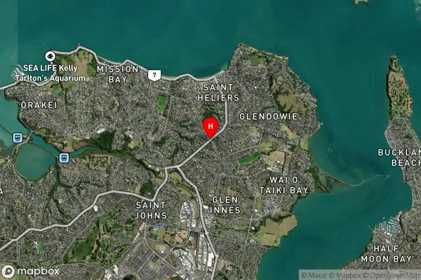
Saint Heliers Satellite Map

Full Address
Saint Heliers, Auckland Central, Auckland, North Island, New ZealandSaint Heliers Coordinates
-36.8627525,174.8564058 (Latitude / Longitude)Saint Heliers Map in NZ

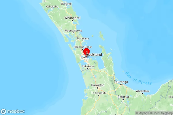
NZ Island
North IslandCountry
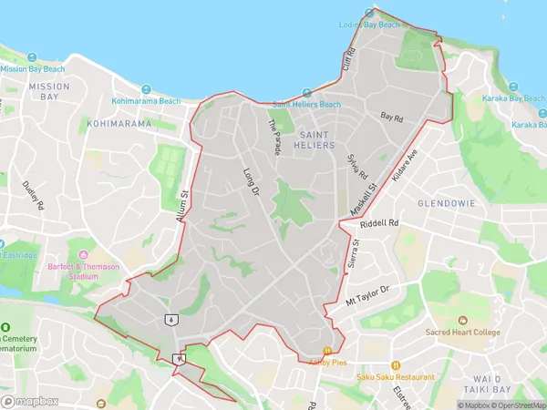
Saint Heliers Area Map (Polygon)

Name
Saint HeliersAdditional Name
St HeliersLocal Authority
Auckland
Saint Heliers Suburbs (Sort by Population)
Saint Heliers also known as St Heliers. Saint Heliers suburb has around
4.8 square
kilometers.There are more than 12356 people (estimated)
live in Saint Heliers, Ōrākei, Auckland, New Zealand.