North Taieri Suburbs & Region, North Taieri Map & Postcodes in North Taieri, Dunedin City, Otago
North Taieri Postcodes, North Taieri ZipCodes, North Taieri , North Taieri Otago, North Taieri Suburbs, North Taieri Region, North Taieri Map, North Taieri Area
North Taieri Region (Tara Hills, Whare Flat Region)
North Taieri Suburbs
North Taieri is a suburb place type in Dunedin City, Otago, NZ. It contains 0 suburbs or localities.North Taieri Region Map
North Taieri Introduction
North Taieri is a small rural community located in the Taieri Plains of Otago, New Zealand. It is situated approximately 20 kilometers north of Dunedin, the capital city of Otago. The area is known for its scenic landscapes, including rolling hills, farmland, and picturesque rivers. North Taieri has a population of around 1,000 people and is home to a variety of businesses, including a primary school, a post office, a supermarket, and a few cafes and restaurants. The community is surrounded by beautiful natural attractions, including the Taieri River, the Otago Peninsula, and the Mount Cargill Conservation Park. The area is popular with outdoor enthusiasts, who enjoy hiking, cycling, fishing, and hunting in the surrounding countryside.North Taieri Region
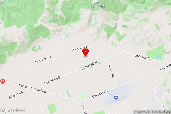
North Taieri City
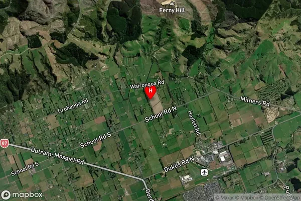
North Taieri Satellite Map
Full Address
North Taieri, Dunedin City, OtagoNorth Taieri Coordinates
-45.843279,170.343233 (Latitude / Longitude)North Taieri Map in NZ
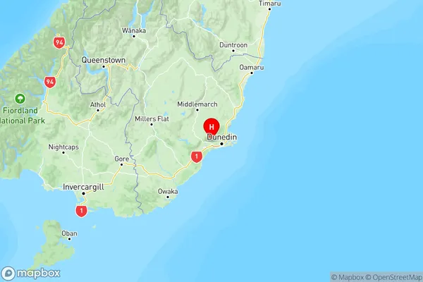
NZ Island
South IslandCountry
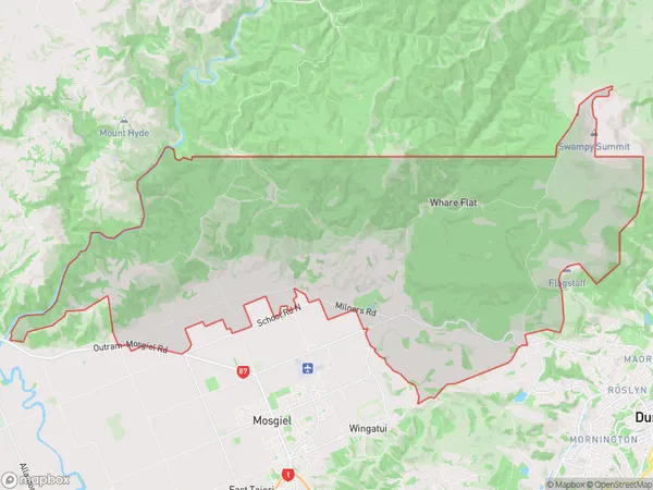
North Taieri Area Map (Polygon)
Name
North TaieriAdditional Name
Tara Hills, Whare FlatLocal Authority
Dunedin City
North Taieri Suburbs (Sort by Population)
North Taieri also known as Tara Hills, Whare Flat. North Taieri suburb has around
110.8 square
kilometers.There are more than 735 people (estimated)
live in North Taieri, Dunedin, Otago, New Zealand.