Karitane Suburbs & Region, Karitane Map & Postcodes in Karitane, Dunedin City, Otago
Karitane Postcodes, Karitane ZipCodes, Karitane , Karitane Otago, Karitane Suburbs, Karitane Region, Karitane Map, Karitane Area
Karitane Region (Puketeraki Region)
Karitane Suburbs
Karitane is a suburb place type in Dunedin City, Otago, NZ. It contains 0 suburbs or localities.Karitane Region Map
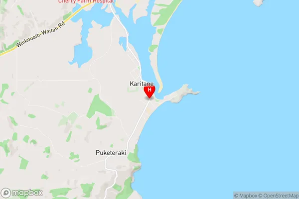
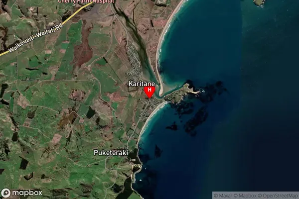
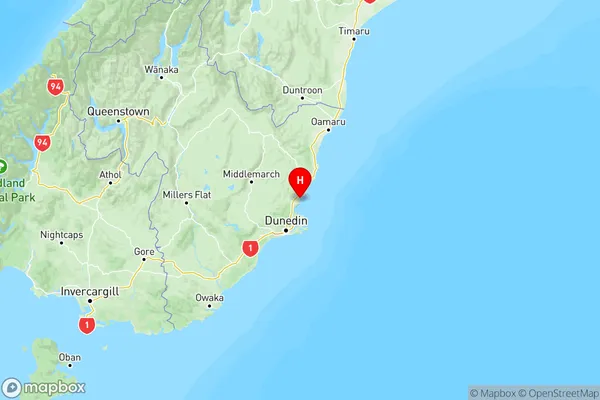
Karitane Introduction
Karitane is a small rural community located in the Otago region of New Zealand. It is known for its picturesque scenery, including rolling hills, lush green fields, and the stunning Karitane River. The community has a population of around 1,000 people and is home to a variety of businesses and amenities, including a primary school, a post office, a convenience store, and a community hall. Karitane is also a popular destination for outdoor enthusiasts, with many hiking and cycling trails nearby. The community is surrounded by stunning natural beauty, including the Mount Cargill Scenic Reserve and the Otago Peninsula.Karitane Region
Karitane City
Karitane Satellite Map
Full Address
Karitane, Dunedin City, OtagoKaritane Coordinates
-45.6418575,170.6570379 (Latitude / Longitude)Karitane Map in NZ
NZ Island
South IslandCountry
Karitane Area Map (Polygon)
Name
KaritaneAdditional Name
PuketerakiLocal Authority
Dunedin City
Karitane Suburbs (Sort by Population)
Karitane also known as Puketeraki. Karitane suburb has around
26.0 square
kilometers.There are more than 662 people (estimated)
live in Karitane, Dunedin, Otago, New Zealand.