Green Island Suburbs & Region, Green Island Map & Postcodes in Green Island, Dunedin City, Otago
Green Island Postcodes, Green Island ZipCodes, Green Island , Green Island Otago, Green Island Suburbs, Green Island Region, Green Island Map, Green Island Area
Green Island Region (Sunnyvale Region)
Green Island Suburbs
Green Island is a suburb place type in Dunedin City, Otago, NZ. It contains 0 suburbs or localities.Green Island Region Map
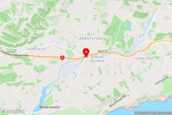
Green Island Introduction
Green Island is a small, uninhabited island located in the Foveaux Strait between the South Island of New Zealand and the Otago Peninsula. It is known for its unique wildlife, including a population of rare yellow-eyed penguins. The island is a popular tourist destination and is accessible by ferry from Dunedin or Port Chalmers. Visitors can explore the island's beaches, hike its trails, and visit the penguin colony. Green Island is also home to a variety of plant and animal species, including several species of birds and reptiles.Green Island Region
Green Island City
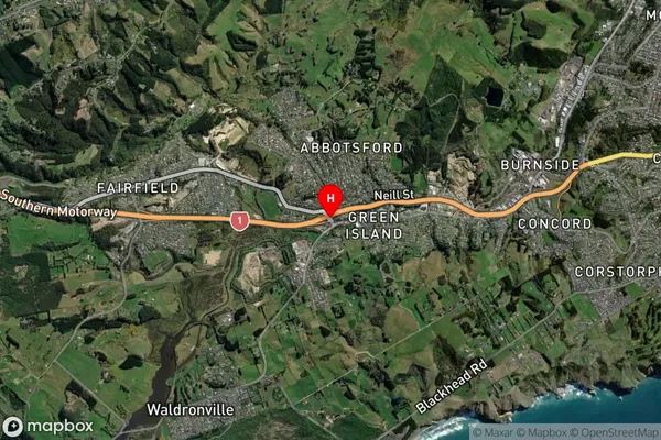
Green Island Satellite Map
Full Address
Green Island, Dunedin City, OtagoGreen Island Coordinates
-45.9025833,170.4234622 (Latitude / Longitude)Green Island Map in NZ
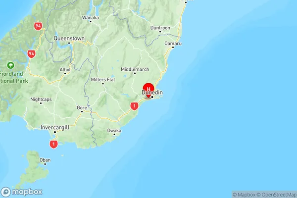
NZ Island
South IslandCountry
Green Island Area Map (Polygon)
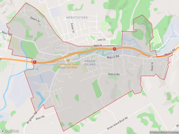
Name
Green IslandAdditional Name
SunnyvaleLocal Authority
Dunedin City
Green Island Suburbs (Sort by Population)
Green Island also known as Sunnyvale. Green Island suburb has around
5.3 square
kilometers.There are more than 3469 people (estimated)
live in Green Island, Dunedin, Otago, New Zealand.