Dalmore Suburbs & Region, Dalmore Map & Postcodes in Dalmore, Dunedin City, Otago
Dalmore Postcodes, Dalmore ZipCodes, Dalmore , Dalmore Otago, Dalmore Suburbs, Dalmore Region, Dalmore Map, Dalmore Area
Dalmore Region
Dalmore Suburbs
Dalmore is a suburb place type in Dunedin City, Otago, NZ. It contains 0 suburbs or localities.Dalmore Postcodes
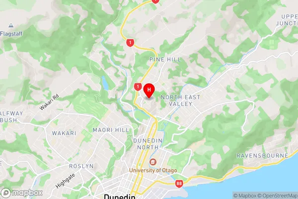
Dalmore Region Map
Dalmore Introduction
Dalmore is a small township in Otago, New Zealand, located 12 km south of Alexandra and 16 km north of Dunedin. It is part of the Clutha District and has a population of around 200 people. The township was established in the 1860s and was named after the Dalmore River, which flows through it. The area is known for its scenic beauty, with the Dalmore Forest Park and the Otago Central Rail Trail providing opportunities for outdoor recreation. The local primary school is Dalmore Primary School, and the township also has a post office, a convenience store, and a community hall.Dalmore Region
Dalmore City
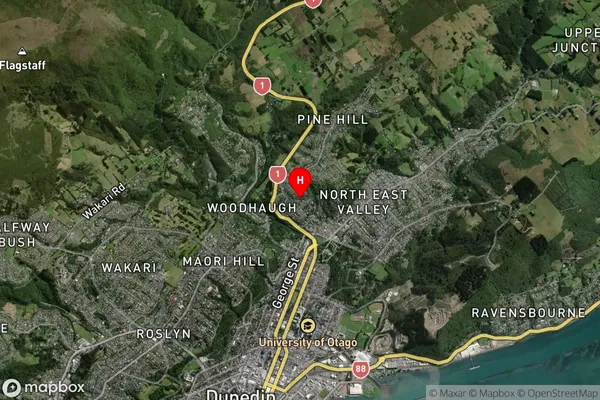
Dalmore Satellite Map
Full Address
Dalmore, Dunedin City, OtagoDalmore Coordinates
-45.850499,170.513774 (Latitude / Longitude)Dalmore Map in NZ
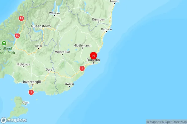
NZ Island
South IslandCountry
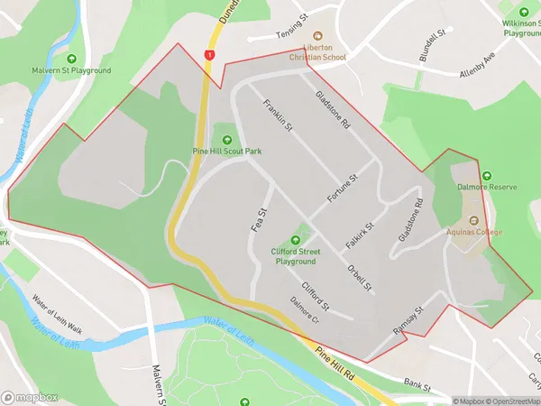
Dalmore Area Map (Polygon)
Name
DalmoreAdditional Name
Local Authority
Dunedin City
Dalmore Suburbs (Sort by Population)
Dalmore suburb has around
0.6 square
kilometers.There are more than 958 people (estimated)
live in Dalmore, Dunedin, Otago, New Zealand.