Balaclava Suburbs & Region, Balaclava Map & Postcodes in Balaclava, Dunedin City, Otago
Balaclava Postcodes, Balaclava ZipCodes, Balaclava , Balaclava Otago, Balaclava Suburbs, Balaclava Region, Balaclava Map, Balaclava Area
Balaclava Region
Balaclava Suburbs
Balaclava is a suburb place type in Dunedin City, Otago, NZ. It contains 0 suburbs or localities.Balaclava Postcodes
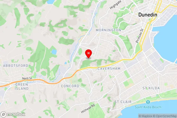
Balaclava Region Map
Balaclava Introduction
Balaclava is a small town in Otago, New Zealand, located on the banks of the Clutha River. It is known for its historic stone buildings, including the Balaclava Hotel, which was built in 1866. The town has a population of around 2,000 people and is a popular tourist destination, particularly for its scenic surroundings and outdoor activities such as hiking, cycling, and fishing. The town also has a rich mining history, with several historic mines and tunnels located nearby.Balaclava Region
Balaclava City
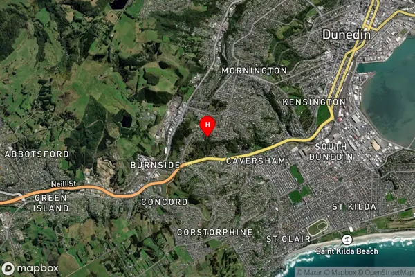
Balaclava Satellite Map
Full Address
Balaclava, Dunedin City, OtagoBalaclava Coordinates
-45.892039,170.469111 (Latitude / Longitude)Balaclava Map in NZ
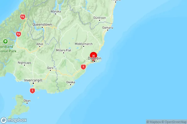
NZ Island
South IslandCountry
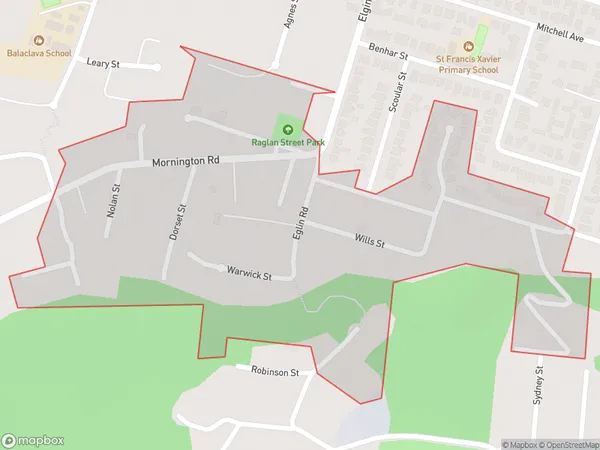
Balaclava Area Map (Polygon)
Name
BalaclavaAdditional Name
Local Authority
Dunedin City
Balaclava Suburbs (Sort by Population)
Balaclava suburb has around
0.3 square
kilometers.There are more than 675 people (estimated)
live in Balaclava, Dunedin, Otago, New Zealand.