Makarora Suburbs & Region, Makarora Map & Postcodes in Makarora, Queenstown-lakes, Central Otago / Lakes District, Otago, South Island, New Zealand
Makarora Postcodes, Makarora ZipCodes, Makarora , Makarora Otago, Makarora Suburbs, Makarora Region, Makarora Map, Makarora Area
Makarora Region (Dingleburn, Huxley Gorge Region)
Makarora Suburbs
Makarora is a suburb place type in Queenstown-lakes, Central Otago / Lakes District, Otago, South Island, New Zealand, NZ. It contains 0 suburbs or localities.Makarora Postcodes
Makarora district
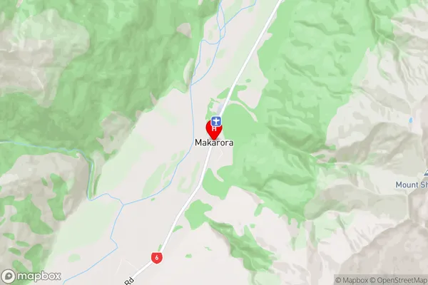
Queenstown-lakesMakarora Region Map
Makarora Introduction
Makarora is a small township in Otago, New Zealand, located on the Makarora River. It is known for its stunning natural scenery, including mountains, forests, and rivers. The town is a popular destination for outdoor enthusiasts, with hiking, fishing, and skiing opportunities in the surrounding area. The Makarora National Park is a major attraction, with its diverse range of wildlife and scenic walks. The town also has a small community center, a hotel, and a few cafes and restaurants.Makarora Region
Makarora City
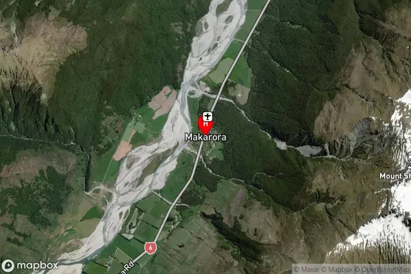
Makarora Satellite Map
Full Address
Makarora, Queenstown-lakes, Central Otago / Lakes District, Otago, South Island, New ZealandMakarora Coordinates
-44.232516,169.231457 (Latitude / Longitude)Makarora Map in NZ
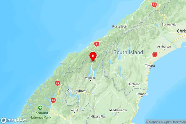
NZ Island
South IslandCountry
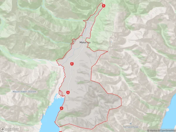
Makarora Area Map (Polygon)
Name
MakaroraAdditional Name
Dingleburn, Huxley GorgeLocal Authority
Queenstown-Lakes District
Makarora Suburbs (Sort by Population)
Makarora also known as Dingleburn, Huxley Gorge. Makarora suburb has around
123.1 square
kilometers.There are more than 83 people (estimated)
live in Makarora, Central Otago / Lakes District, Otago, New Zealand.