Onehunga Suburbs & Region, Onehunga Map & Postcodes in Onehunga, Auckland Central, Auckland, North Island, New Zealand
Onehunga Postcodes, Onehunga ZipCodes, Onehunga , Onehunga Auckland, Onehunga Suburbs, Onehunga Region, Onehunga Map, Onehunga Area
Onehunga Region (Mt Albert, Oranga, Te Papapa Region)
Onehunga Suburbs
Onehunga is a suburb place type in Auckland Central, Auckland, North Island, New Zealand, NZ. It contains 0 suburbs or localities.Onehunga district
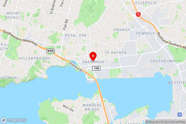
Auckland CentralOnehunga Region Map

Onehunga Introduction
Onehunga is a suburb of Auckland, New Zealand, located on the southern shores of the Waitematā Harbour. It is known for its vibrant cultural scene, with a large population of Pacific Islanders and a strong sense of community. The suburb has a variety of shops, restaurants, and recreational facilities, including Onehunga Park and the Onehunga War Memorial Library. Onehunga is also home to the Onehunga Business Association, which promotes local businesses and events. The suburb is well-connected to other parts of Auckland, with regular bus and train services, and is only a short drive from the city center.Onehunga Region
Onehunga City
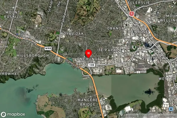
Onehunga Satellite Map

Full Address
Onehunga, Auckland Central, Auckland, North Island, New ZealandOnehunga Coordinates
-36.923792,174.785774 (Latitude / Longitude)Onehunga Map in NZ

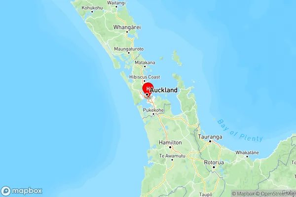
NZ Island
North IslandCountry
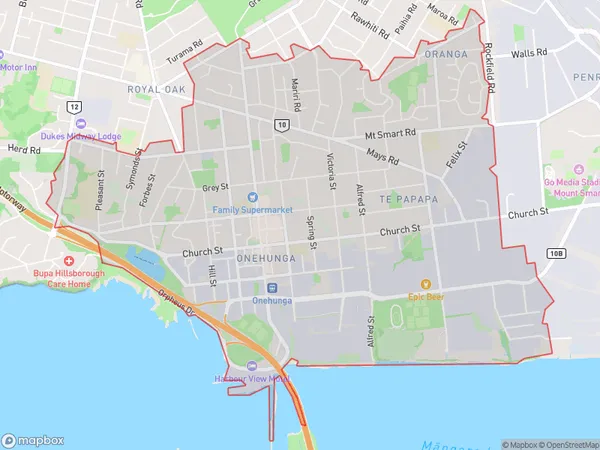
Onehunga Area Map (Polygon)

Name
OnehungaAdditional Name
Mt Albert, Oranga, Te PapapaLocal Authority
Auckland
Onehunga Suburbs (Sort by Population)
Onehunga also known as Mt Albert, Oranga, Te Papapa. Onehunga suburb has around
8.5 square
kilometers.There are more than 19309 people (estimated)
live in Onehunga, Maungakiekie-Tāmaki, Auckland, New Zealand.