Closeburn Suburbs & Region, Closeburn Map & Postcodes in Closeburn, Queenstown-lakes, Central Otago / Lakes District, Otago, South Island, New Zealand
Closeburn Postcodes, Closeburn ZipCodes, Closeburn , Closeburn Otago, Closeburn Suburbs, Closeburn Region, Closeburn Map, Closeburn Area
Closeburn Region
Closeburn Suburbs
Closeburn is a suburb place type in Queenstown-lakes, Central Otago / Lakes District, Otago, South Island, New Zealand, NZ. It contains 0 suburbs or localities.Closeburn Postcodes
Closeburn district
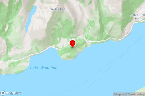
Queenstown-lakesCloseburn Region Map
Closeburn Introduction
Closeburn is a small rural town located in the Otago region of New Zealand, about 30 kilometers south of Dunedin. It is known for its scenic surroundings, including the Closeburn Forest Park, which is a popular hiking and mountain biking destination. The town has a population of around 2,000 people and is surrounded by farmland and picturesque countryside. It is also home to a number of historic buildings, including the Closeburn Castle, which was built in the 1860s.Closeburn Region
Closeburn City
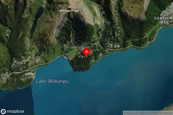
Closeburn Satellite Map
Full Address
Closeburn, Queenstown-lakes, Central Otago / Lakes District, Otago, South Island, New ZealandCloseburn Coordinates
-45.060249,168.578692 (Latitude / Longitude)Closeburn Map in NZ
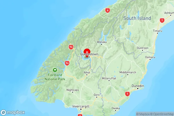
NZ Island
South IslandCountry
Closeburn Area Map (Polygon)

Name
CloseburnAdditional Name
Local Authority
Queenstown-Lakes District
Closeburn Suburbs (Sort by Population)
Closeburn suburb has around
18.7 square
kilometers.There are more than 108 people (estimated)
live in Closeburn, Central Otago / Lakes District, Otago, New Zealand.