Ophir Suburbs & Region, Ophir Map & Postcodes in Ophir, Central Otago, Central Otago / Lakes District, Otago, South Island, New Zealand
Ophir Postcodes, Ophir ZipCodes, Ophir , Ophir Otago, Ophir Suburbs, Ophir Region, Ophir Map, Ophir Area
Ophir Region
Ophir Suburbs
Ophir is a suburb place type in Central Otago, Central Otago / Lakes District, Otago, South Island, New Zealand, NZ. It contains 0 suburbs or localities.Ophir Postcodes
Ophir district
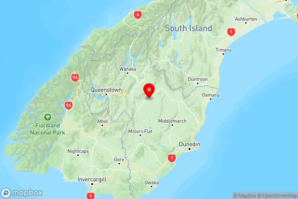
Central OtagoOphir Region Map
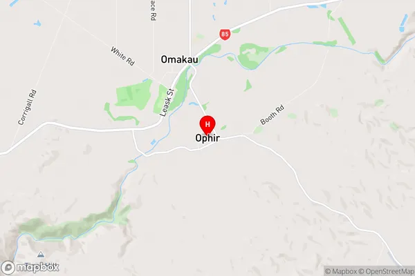
Ophir Introduction
Ophir is a small town in Otago, New Zealand, located in the Central Otago District. It is situated at the foot of the Ophir Mountains, and is known for its scenic beauty and outdoor recreational opportunities. The town has a population of around 200 people and is a popular destination for tourists and outdoor enthusiasts. The area is rich in history, with several historic buildings and sites, including the Ophir Gold Mine, which was operational from 1861 to 1957. The town also has a community hall, a library, and a golf course.Ophir Region
Ophir City
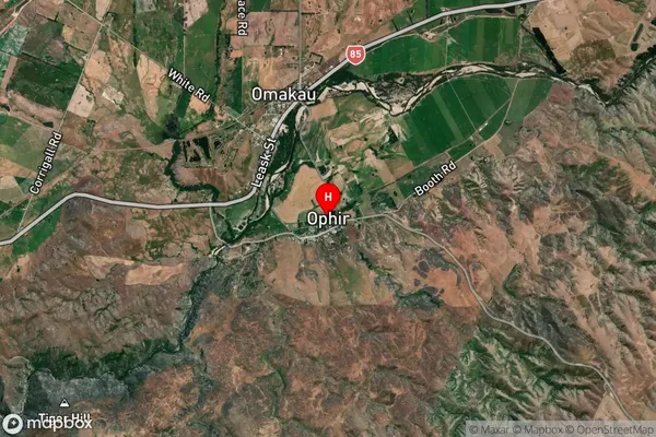
Ophir Satellite Map
Full Address
Ophir, Central Otago, Central Otago / Lakes District, Otago, South Island, New ZealandOphir Coordinates
-45.107969,169.606193 (Latitude / Longitude)Ophir Map in NZ
NZ Island
South IslandCountry
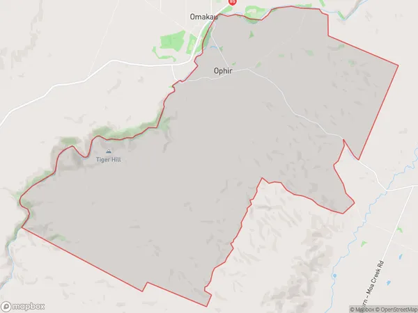
Ophir Area Map (Polygon)
Name
OphirAdditional Name
Local Authority
Central Otago District
Ophir Suburbs (Sort by Population)
Ophir suburb has around
54.3 square
kilometers.There are more than 101 people (estimated)
live in Ophir, Vincent Community, Otago, New Zealand.