Lindis Pass Suburbs & Region, Lindis Pass Map & Postcodes in Lindis Pass, Central Otago, Central Otago / Lakes District, Otago, South Island, New Zealand
Lindis Pass Postcodes, Lindis Pass ZipCodes, Lindis Pass , Lindis Pass Otago, Lindis Pass Suburbs, Lindis Pass Region, Lindis Pass Map, Lindis Pass Area
Lindis Pass Region (Hawea Region)
Lindis Pass Suburbs
Lindis Pass is a suburb place type in Central Otago, Central Otago / Lakes District, Otago, South Island, New Zealand, NZ. It contains 1 suburbs or localities.Lindis Pass Postcodes
Lindis Pass district
Central OtagoLindis Pass Introduction
Lindis Pass is a mountain pass in the Southern Alps of New Zealand, located between Mount Cargill and Mount Ossa. It is part of the New Zealand Southern Alps Scenic Route and is a popular hiking and skiing destination. The pass is named after the Lindis River, which flows through the valley below. The pass is approximately 12 kilometers long and rises to an elevation of 1,748 meters above sea level. The surrounding area is known for its stunning mountain scenery, including glaciers, waterfalls, and lakes.Lindis Pass Region
Lindis Pass City
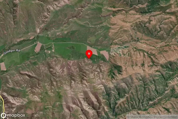
Lindis Pass Satellite Map

Full Address
Lindis Pass, Central Otago, Central Otago / Lakes District, Otago, South Island, New ZealandLindis Pass Coordinates
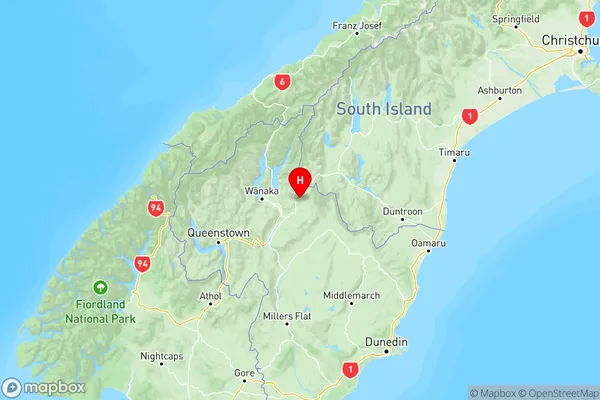
-44.702022,169.555754 (Latitude / Longitude)Lindis Pass Map in NZ

NZ Island
South IslandCountry
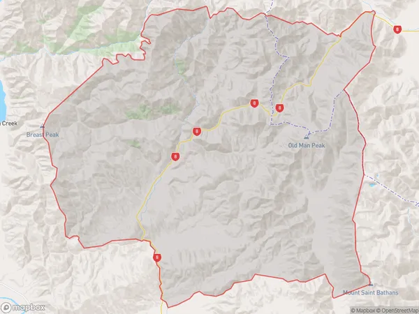
Lindis Pass Area Map (Polygon)

Name
Lindis PassAdditional Name
HaweaLocal Authority
Central Otago District, Queenstown-Lakes District, Waitaki District
Lindis Pass Suburbs (Sort by Population)
Lindis Pass
Lindis Pass - 41
