Waitangi Suburbs & Region, Waitangi Map & Postcodes in Waitangi, Waimate, Canterbury
Waitangi Postcodes, Waitangi ZipCodes, Waitangi , Waitangi Canterbury, Waitangi Suburbs, Waitangi Region, Waitangi Map, Waitangi Area
Waitangi Region
Waitangi Suburbs
Waitangi is a suburb place type in Waimate, Canterbury, NZ. It contains 0 suburbs or localities.Waitangi Region Map
Waitangi Introduction
Waitangi, located in the Bay of Islands in northern New Zealand, is the site of the Waitangi Treaty, which was signed on February 6, 1840, by representatives of the British Crown and a group of Maori chiefs. The treaty established a partnership between the Maori and the British, recognized Maori land rights, and gave Maori the right to participate in the British government. Waitangi is a significant cultural and historical site and is a popular tourist destination. It is also home to the Waitangi National Memorial Park, which commemorates the treaty and the history of Maori-British relations.Waitangi Region
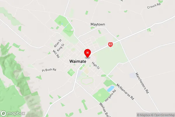
Waitangi City
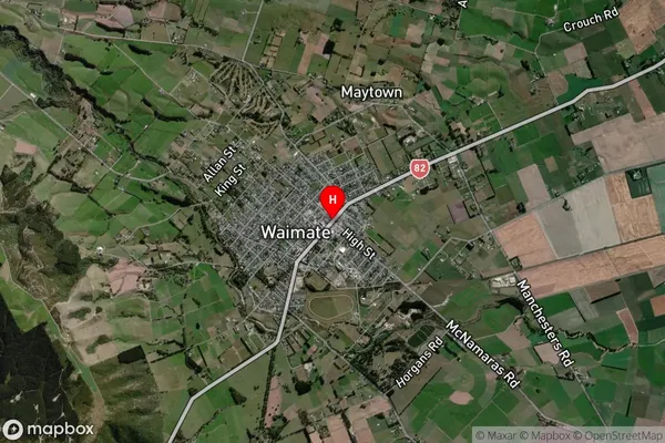
Waitangi Satellite Map
Full Address
Waitangi, Waimate, CanterburyWaitangi Coordinates
-44.732697,171.0480709 (Latitude / Longitude)Waitangi Map in NZ

NZ Island
South IslandCountry
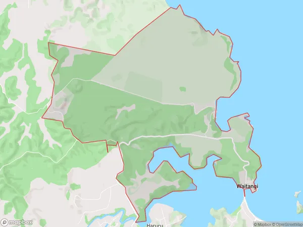
Waitangi Area Map (Polygon)
Name
WaitangiAdditional Name
Local Authority
Far North District
Waitangi Suburbs (Sort by Population)
Waitangi suburb has around
17.1 square
kilometers.There are more than 50 people (estimated)
live in Waitangi, Bay of Islands-Whangaroa Community, Northland, New Zealand.